
Elevation 262 m Local time Monday 9:11 AM | GNIS feature ID 0453715 Area 92.27 km² Population 29,158 (2010) | |
 | ||
ZIP codes 46706, 46748, 46765, 46818, 46845 Weather 10°C, Wind W at 10 km/h, 91% Humidity Points of interest Parkview North Family Pa, Bicentennial Woods Trust, ACRES Land Trust, Vandolah Nature Preserve | ||
Perry Township is one of twenty townships in Allen County, Indiana, United States. As of the 2010 census, its population was 29,158, up from 18,170 in 2000.
Contents
- Map of Perry Township IN USA
- History
- Geography
- Cities towns villages
- Unincorporated towns
- Adjacent townships
- Cemeteries
- Major highways
- Airports and landing strips
- School districts
- Political districts
- References
Map of Perry Township, IN, USA
History
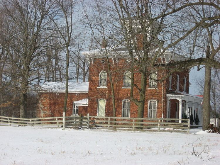
The Dutch Ridge Historic District and Fisher West Farm are listed on the National Register of Historic Places. The Irene Byron Tuberculosis Sanatorium-Physician Residences were listed between 2004 and 2013.
Geography
According to the United States Census Bureau, Perry Township covers an area of 35.63 square miles (92.27 km2); of this, 35.52 square miles (91.99 km2) is land and 0.11 square miles (0.28 km2), or 0.30 percent, is water.
Cities, towns, villages
Unincorporated towns
(This list is based on USGS data and may include former settlements.)
Adjacent townships
Cemeteries
The township contains Huntertown Cemetery.
Major highways
Airports and landing strips
School districts
Political districts
References
Perry Township, Allen County, Indiana Wikipedia(Text) CC BY-SA