
GNIS feature ID 0453170 Area 92.38 km² Local time Tuesday 1:28 AM | Elevation 241 m Population 12,570 (2010) | |
 | ||
ZIP codes 46706, 46741, 46765, 46788, 46825, 46835, 46845 Weather 15°C, Wind S at 21 km/h, 74% Humidity Points of interest Metea County Park, Leo‑Cedarville Town Park, Hurshtown Reservoir | ||
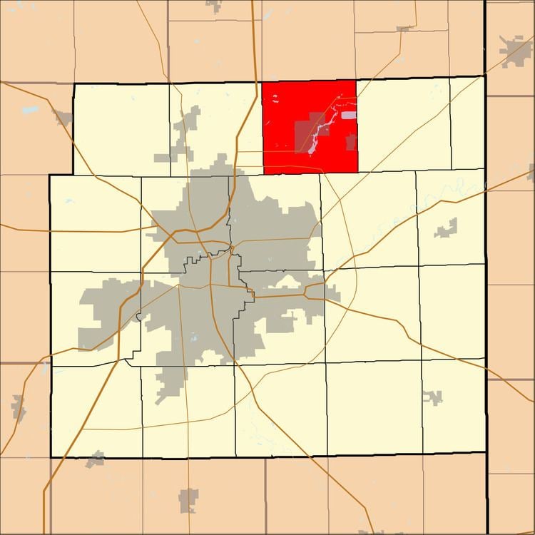
Cedar Creek Township is one of twenty townships in Allen County, Indiana, United States. As of the 2010 census, its population was 12,570.
Contents
- Map of Cedar Creek Township IN USA
- Geography
- Cities towns villages
- Unincorporated towns
- Adjacent townships
- Cemeteries
- Major highways
- Rivers
- Lakes
- School districts
- Political districts
- References
Map of Cedar Creek Township, IN, USA
Geography
According to the United States Census Bureau, Cedar Creek Township covers an area of 35.67 square miles (92.38 km2); of this, 34.47 square miles (89.27 km2) is land and 1.20 square miles (3.11 km2), or 3.37 percent, is water.
Cities, towns, villages
Unincorporated towns
(This list is based on USGS data and may include former settlements.)
Adjacent townships
Cemeteries
The township contains these three cemeteries: Saint Michaels, Schlatter and Yaggy.
Major highways
Rivers
Lakes
School districts
Political districts
References
Cedar Creek Township, Allen County, Indiana Wikipedia(Text) CC BY-SA