Airport type Public Elevation AMSL 659 ft / 201 m 4,400 1,341 | 13/31 4,400 Elevation 201 m | |
 | ||
Owner Perry County Airport Authority | ||
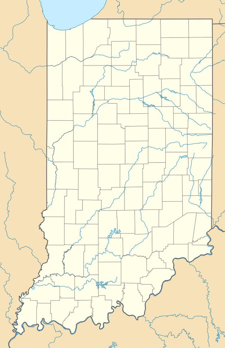
Perry County Municipal Airport (ICAO: KTEL, FAA LID: TEL) is seven miles northeast of Tell City, in Perry County, Indiana. It is owned by the Perry County Airport Authority.
Most U.S. airports use the same three-letter location identifier for the FAA and IATA, but this airport is TEL to the FAA and has no IATA code.
Facilities
The airport covers 76 acres (31 ha) at an elevation of 659 feet (201 m). Its one runway, 13/31, is 4,400 x 75 ft (1,341 x 23 m) asphalt. In 2006 the airport had 3,048 aircraft operations, average 254 per month: 92% general aviation, 7% military and 1% air taxi.
References
Perry County Municipal Airport Wikipedia(Text) CC BY-SA
