
Topo map USGS Orange Country United States of America | Elevation 351 m | |
 | ||
560 peralta hills drive anaheim hills ca
The Peralta Hills are a ridge of hills in northeastern Orange County, California.
Contents
- 560 peralta hills drive anaheim hills ca
- Map of Peralta Hills Anaheim CA 92867 USA
- Multimillion dollar estate 560 s peralta hills anaheim hills ca
- References
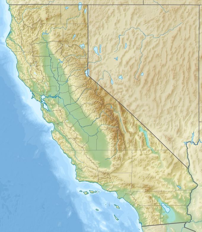
Map of Peralta Hills, Anaheim, CA 92867, USA
The ridge technically begins with Burruel Point (685 feet) in the city of Orange, close to where Nohl Ranch Road meets the Costa Mesa Freeway (SR 55), although there are hills to the west of Burruel Point, extending into the vast alluvial plain of the Los Angeles Basin to the community of Olive, California, ending roughly at the intersection of Orange-Olive Road and Lincoln Avenue.
The ridge gains in elevation eastward, with peaks of 500 to 1,000 feet, until it meets the Santa Ana Mountains along the eastern boundaries of the city of Anaheim, roughly at the Eastern Transportation Corridor (SR 241). The hills are divided from the Puente Hills (home to the community of Yorba Linda to the north by the Santa Ana River.)
Robbers Peak (between Serrano Avenue and Weir Canyon) is the most notable peak within the Peralta Hills, and Weir Canyon the most notable canyon.