
Municipality Peraleda de la Mata Elevation 341 m Population 1,420 (2014) | Time zone CET (UTC+1) Area 92 km² Local time Monday 2:51 AM | |
 | ||
Weather 10°C, Wind S at 10 km/h, 80% Humidity | ||
Peraleda de la Mata is a municipality located in the province of Cáceres, Extremadura, Spain. According to the 2014 census, the municipality has a population of 1420 inhabitants.
Contents
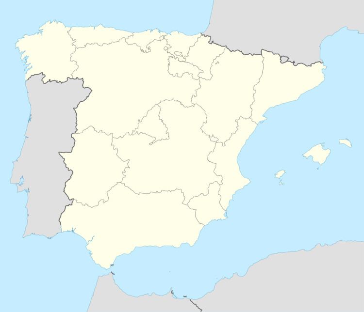
Map of 10335 Peraleda de la Mata, C%C3%A1ceres, Spain
Location
It is situated in the province limit between Cáceres and Toledo, at about 170 km of Madrid and is accessed from (A-5) highway.
Local economy
The base of the economy is basically agricultural and livestock, dominated by the sheep. Recently, people have driven modernization with the creation of a large industrial park adjacent to the A-5.
References
Peraleda de la Mata Wikipedia(Text) CC BY-SA