Elevation 300 m (1,000 ft) Area 102.2 km² Area code 26710 | Time zone EET (UTC+2) Local time Monday 3:40 AM | |
 | ||
Weather 13°C, Wind NW at 10 km/h, 65% Humidity Municipality Loutraki-Perachora-Agioi Theodoroi | ||
Beautiful places in the world greece melagavi lighthouse and heraion of perachora aerial video
Perachora (Greek: Περαχώρα) is an inland settlement in Loutraki-Perachora-Agioi Theodoroi, Corinthia, in the region of Peloponnese in Greece.
Contents
- Beautiful places in the world greece melagavi lighthouse and heraion of perachora aerial video
- Map of Perachora 203 00 Greece
- References
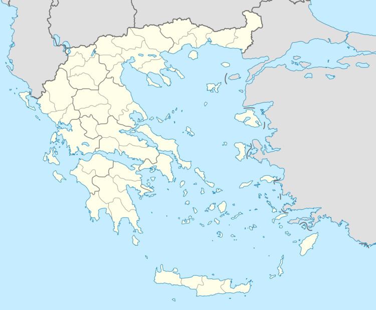
Map of Perachora 203 00, Greece
It is located about 7 km northwest of the town of Loutraki in the foothills of the Geraneia mountains. Perachora's name is a transformation of the phrase "Peraia Chora" meaning in Greek "the land on the other side" of the Isthmus of Corinth and the ancient city of Corinth. Perachora has a population of about 1,200 and it is built 300 metres above sea level.
The remains of the Heraion of Perachora, an ancient temple of Hera Limenia, are situated at the cape 8 km west of Perachora. The Limni Vouliagmeni lagoon is 6 km west of the village. In the lagoon area the epic movie The 300 Spartans was filmed in 1962. The area around the village has typically agricultural Mediterranean scenery with green-silver olive trees being the single most important crop. Extended pine forests exist in some of the surrounding mountains, sometimes reaching the coast. Notable local products include virgin olive oil and natural pine resin.
