Time zone IST (UTC+5:30) Area 19.34 km² Local time Sunday 11:21 PM | Mandal Tadepalle PIN 522 501 Population 7,918 (2011) | |
 | ||
Weather 28°C, Wind S at 10 km/h, 81% Humidity | ||
Penumaka is a neighbourhood and a part of Urban Notified Area of Amaravati, the state capital of the Indian state of Andhra Pradesh. It was a village in Tadepalle mandal of Guntur district, prior to its denotification as gram panchayat.
Contents
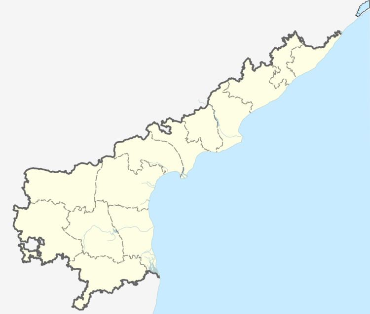
Map of Penumaka, Andhra Pradesh 522501
Demographics
As of 2011 Census of India, the town had a population of 7,918, of which males are 3,997, females are 3,921 and the population under 6 years of age are 790. The average literacy rate is 71.11%.
Transport
Penumaka is located on the Vijayawada-Amaravati road. APSRTC operates buses on this route from Pandit Nehru bus station of Vijayawada.
References
Penumaka Wikipedia(Text) CC BY-SA
