
Existed: 1928 – present Constructed 1928 | Length 88.5 km | |
 | ||
North end: PA 403 in East Wheatfield Township Counties | ||
Pennsylvania Route 711 (PA 711) is a 55-mile-long (89 km), north–south state highway located in Fayette, Westmoreland and Indiana counties in Pennsylvania. The southern terminus is at US 119/PA 201 in Connellsville. The northern terminus is at PA 403 in East Wheatfield Township.
Contents
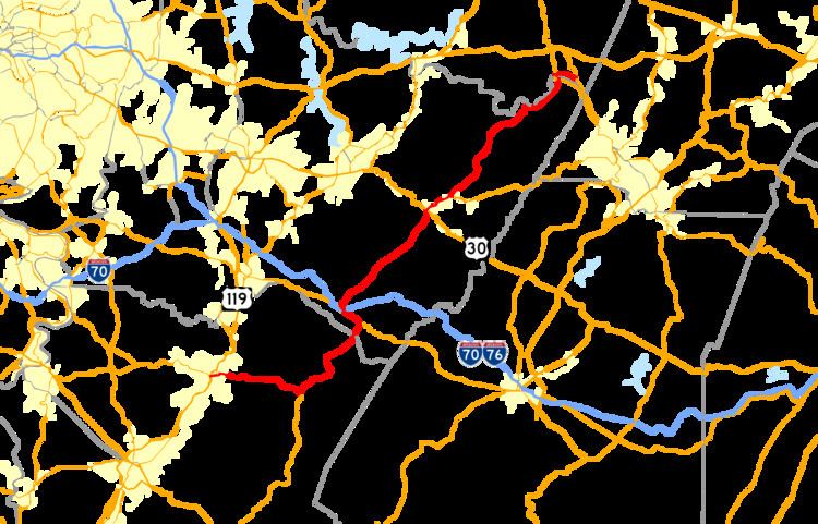
- Map of PA 711 Pennsylvania USA
- Route description
- Fayette County
- Westmoreland County
- Indiana County
- History
- PA 711 Truck
- References
Map of PA-711, Pennsylvania, USA
Route description
PA 711 goes by many names along its route. The names include Crawford Avenue, Snyder Street, Springfield Pike, Main Street, Ligonier Street, Stahlstown-Ligonier Road, Market Street, Market Street Extension, 13th Street, Second Street, Charles Road, and Indian Creek Valley Road.
Even though its signed north–south along its route, the route in Fayette County takes a more east–west direction, and most of the rest of the route in Westmoreland and Indiana counties goes more of a southwest-northeast direction.
Fayette County
The route begins at an intersection of US 119 and PA 201 in the western part of Connellsville. The route goes east from the town to PA 381 in the village of Normalville, and begins a concurrency that spans for a 8 miles (13 km) before the route enters Westmoreland County.
Westmoreland County
The route continues its concurrency with PA 381 for another 2 miles (3.2 km) until it splits at Jones Mills. As soon as the concurrency ends, the route has another short concurrency with PA 31 from Jones Mills to the town of Donegal. Continuing on PA 31 will take you to the Pennsylvania Turnpike, where the Donegal Exit (Exit 91) lies very close to PA 711 (Signage on the Turnpike shows this as a route to PA 711). After PA 711 itself passes over the Pennsylvania Turnpike, the route passes through Donegal, and heads northeast to the village of Stahlstown, where it has an intersection with PA 130. The route continues northeast to the town of Ligonier, where it intersects with US 30. After passing through town, the route continues northeast to PA 271 in the village of Oak Grove. The route heads north to the village of West Fairfield, where the route starts to parallel the Conemaugh River, and pass through the towns of New Florence and Seward. In the town of Seward, the route has a concurrency with PA 56, where it continues to Indiana County.
Indiana County
The route continues with PA 56 for a short distance to the village of Robindale Heights, where PA 56 splits from the route, and PA 711 heads east. It continues east to the village of Cramer, where the route terminates at PA 403.
History
PA 711 has a long history of changes and news along its route. The route was first signed in 1928, but construction along the route did not get completed until the early 1930s. In the 1950s, the routes southern terminus was moved from Pleasant Grove to PA 71 at the intersection at I-70 in the town of Belle Vernon. In the 1960s, the southern terminus was moved yet again to its current location.
Today, the road faces many issues, with many trucks using the route to access many companies for lumber, quarries, and argiculturial purposes, traffic around Ligonier, and many other issues. PennDOT has been in the works for years finding out a way to ease problems along the route.
PA 711 Truck
Pennsylvania Route 711 Truck (PA 711 Truck) is a 3-mile-long (4.8 km) truck route located in Fayette County. The route begins at US 119, PA 201, and PA 711 west of Connellsville and follows US 119 around the northwestern edge of the city on Memorial Boulevard to Crawford Avenue Extension. Here, PA 711 Truck turns southward and follows the extension and Crawford Avenue back to PA 711 in the eastern portion of Connellsville.