
Country United Kingdom | ||
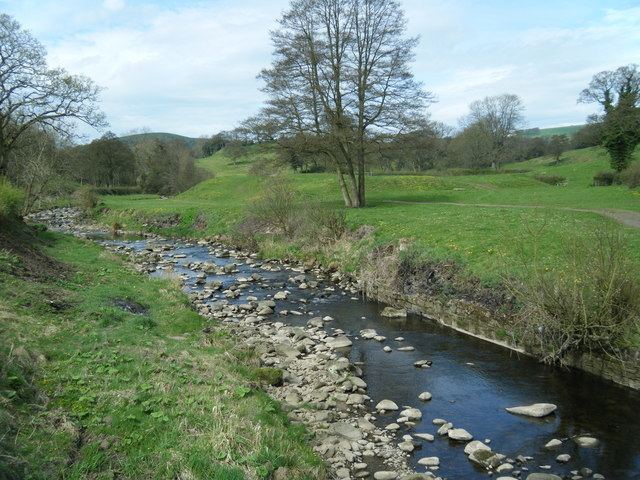 | ||
Pendle Water is a minor river in Lancashire.
Contents
Map of Pendle Water, United Kingdom
Rising on Pendle Hill, Pendle Water cuts a deep valley between Barley Moor and Spence Hill, where it feeds into the Upper and Lower Ogden Reservoirs. Upon exiting the lower reservoir, Pendle Water flows east through the picturesque villages of Barley and Roughlee, before collecting Blacko Water, which drains the valley near Wheathead, at Water Meetings, a popular picnic spot one mile west of Blacko village. The river then flows south through Higherford and Barrowford, where it is joined by Colne Water.
From this point onwards the river flows west past the Lomeshaye Industrial Estate alongside the Leeds and Liverpool Canal towards its confluence with the River Calder in Reedley Hallows northwest of Burnley.
Pendle Water once supplied water to the Burnley Water Treament Works which is situated on Wood End Lane.
Flooding Incidents
On Tuesday, August 8, 1967, a flash flood caused devastation in the village of Barrowford. Work on the final phase of a £4 million flood alleviation scheme in Barrowford, was completed in 2007. The new flood defences seek to protect up to 500 homes and 18,000m2 of industrial premises.