
 | ||
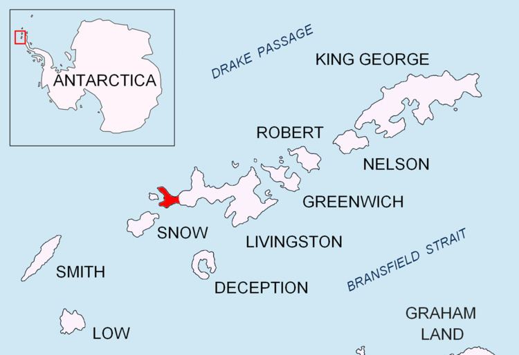
Penca Hill is a rocky hill rising to 217 m in Dospey Heights on Byers Peninsula, Livingston Island in the South Shetland Islands, Antarctica.
Contents
The feature is descriptively named, the Spanish penca referring to a fleshy leaf or joint of a plant.
Location
Penca Hill is located at 62°36′04.9″S 61°07′23.2″W which is 2.77 km east-southeast of Start Hill, 2.28 km east-southeast of Dulo Hill, 1.93 km southeast of Battenberg Hill, 2.15 km northwest of Varadero Hill and 4.36 km north-northwest of Chester Cone (Chilean mapping in 1971, detailed Spanish mapping in 1992, and Bulgarian mapping in 2009).
Maps
References
Penca Hill Wikipedia(Text) CC BY-SA