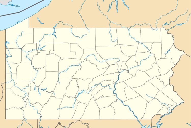
Country United States County Franklin Time zone Eastern (EST) (UTC-5) Elevation 380 m Population 929 (2010) | State Pennsylvania ZIP code 17268 Area 193 ha | |
 | ||
Pen Mar is an unincorporated community and census-designated place (CDP) in Washington Township, Franklin County, Pennsylvania, United States. It is located along the Mason–Dixon line, bordered to the south by the community of Pen Mar Park in Maryland. As of the 2010 census the population of Pen Mar was 929.
Geography
Pen Mar is located in southeastern Franklin County, Pennsylvania, on the western slope of South Mountain. Pennsylvania Route 550 is the main road through the community, leading northwest down the mountain 2 miles (3 km) to Rouzerville. Waynesboro, Pennsylvania, is 4.5 miles (7.2 km) northwest of Pen Mar, and the site of the former Fort Ritchie in Maryland is 1 mile (1.6 km) to the southeast.
References
Pen Mar, Pennsylvania Wikipedia(Text) CC BY-SA
