
Area 34.73 km² Population 137 (1999) | Intercommunality Corps region Local time Sunday 1:33 AM | |
 | ||
Weather 3°C, Wind SE at 3 km/h, 96% Humidity | ||
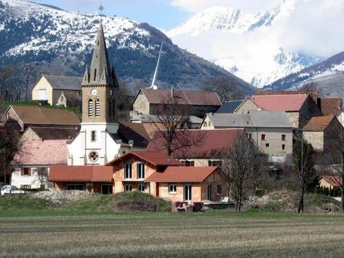
Pellafol is a commune in the Isère department in southeastern France.
Contents
Map of Pellafol, France
Geography
Pellafol is situated 7 km (4.3 mi) to the south of Dauphiné and Dévoluy (midway between Grenoble and Gap) on a magnificent plateau near Lake Sautet, It has limited entry to the departments of Isère and Hautes-Alpes.
Neighboring communes
Corps, Cordéac, Ambel, Beaufin, Saint-Étienne-en-Dévoluy.
History
Historically, Pellafol was a former fort château.
References
Pellafol Wikipedia(Text) CC BY-SA