
Established 2002 Time zone ACST (UTC+9:30) Postal code 5222 | Postcode(s) 5222 Founded 2002 | |
 | ||
Region Fleurieu and Kangaroo Island | ||
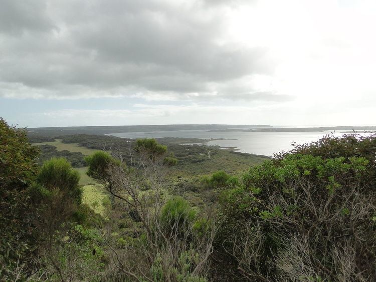
Pelican Lagoon is a locality in the Australian state of South Australia located on the south coast of Dudley Peninsula on Kangaroo Island overlooking the body of water known in Australia as the Southern Ocean and by international authorities as the Great Australian Bight. It is located about 123 kilometres (76 mi) south of the state capital of Adelaide and about 17 kilometres (11 mi) south-west of Penneshaw.
Map of Pelican Lagoon SA 5222, Australia
The locality’s boundaries were created in March 2002 for the “long established name” which is derived from Pelican Lagoon, the seawater lagoon which adjoins the locality to the west.
As of 2014, Pelican Lagoon consisted of land at the western end of Dudley Peninsula which adjoins the seawater lagoon of Pelican Lagoon on its north, east and west sides including the isthmus to the south that connects the peninsula to the west part of Kangaroo Island and which adjoins the island’s southern coastline. Land within the locality is zoned for agriculture, conservation including the Pelican Lagoon Conservation Park and residential use.
The locality includes a threshing floor which is listed on the South Australian Heritage Register.
Pelican Lagoon is located within the federal division of Mayo, the state electoral district of Finniss and the local government area of the Kangaroo Island Council.