
Time zone IST (UTC+5:30) Telephone code 044-2274 Population 17,521 (2001) | PIN 600063 Elevation 25 m Local time Sunday 1:49 AM | |
 | ||
Weather 26°C, Wind S at 8 km/h, 80% Humidity Government body | ||
Peerkankaranai lake overflow public disrupt over water logging in residential area
Peerkankaranai is a residential locality in Southern part of the metropolitan city of Chennai in the Indian state of Tamil Nadu.It comes under Tambaram taulk and St Thomas mount Panchayat Union.
Contents
- Peerkankaranai lake overflow public disrupt over water logging in residential area
- Map of Peerkankaranai Tambaram Chennai Tamil Nadu
- Demographics
- References
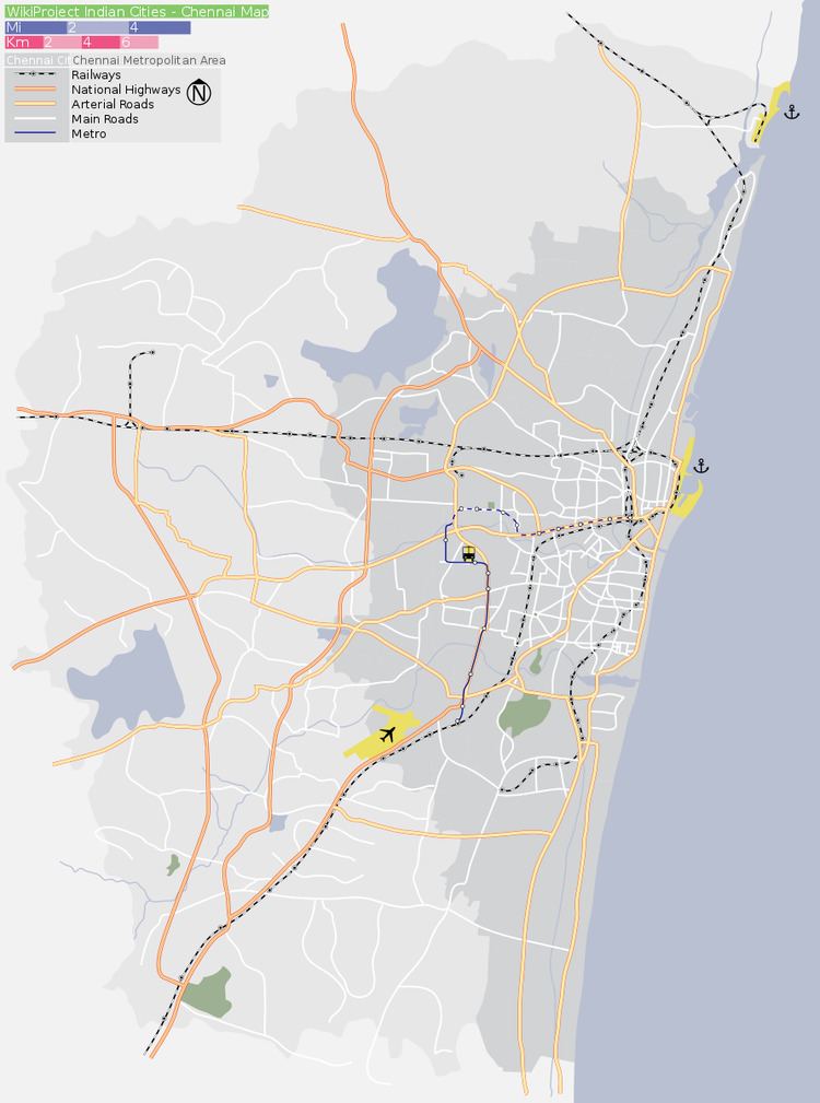
Map of Peerkankaranai, Tambaram, Chennai, Tamil Nadu
Demographics
As of 2001 India census, Peerkankaranai had a population of 17,521. Males constitute 50% of the population and females 50%. Peerkankaranai has an average literacy rate of 82%, higher than the national average of 59.5%: male literacy is 86%, and female literacy is 79%. In Peerkankaranai, 10% of the population is under 6 years of age.
Peerkankaranai is located on NH-45 highway between Tambaram and perungalathur.It has a small lake and provides water to most of the residents nearby.It has well transportation facilities.It has nearby railway station. Peerkankaranai and Perungalathur shares Common bus stop named "Perungalathur"and it has another bustop named "Erikarai". The area is under development and government sanctioned with drainage system.
Primary Schools:
Peerkankaranai consists of:
Places of workship:
Nowadays wastes and decomposing materials are buried in the lake makes unsuitalble for the lake to survive. Burial ground situated at the end of the area which is common for New perungalathur and Irumbuliur Residents.