
- location Mackenzie Delta Basin area 73,600 km² | Basin area 73,600 km² | |
 | ||
- average 691 m/s (24,402 cu ft/s) - max 8,800 m/s (310,769 cu ft/s) - min 46.8 m/s (1,653 cu ft/s) Provinces | ||
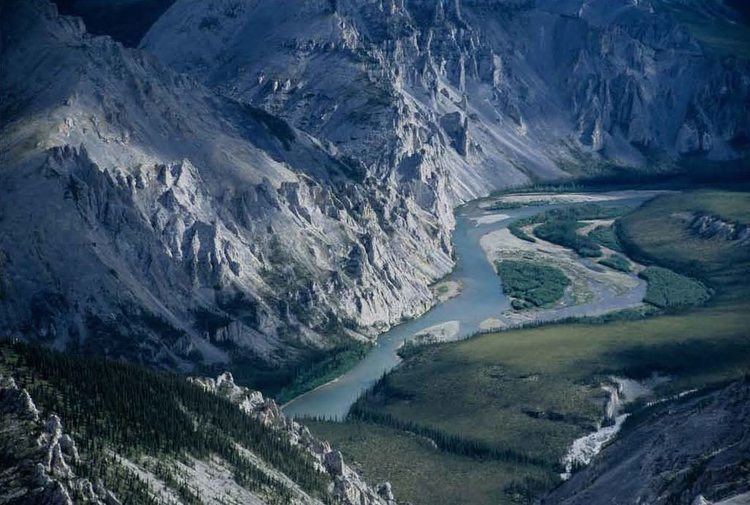
The Peel River (Teetl'it Gwinjik in Gwich’in) is a tributary of the Mackenzie River in the Yukon and Northwest Territories in Canada. Its source is in the Ogilvie Mountains in the central Yukon at the confluence of the Ogilvie River and Blackstone River. Its main tributaries are:
Map of Peel River, Canada
The Peel River joins the Mackenzie in the Mackenzie Delta. However, a distributary of the Peel is the headwater for a channel that later collects distributaries of the Mackenzie. This means that a channel can be followed for a longer distance downriver until it, itself, disseminates into the shared delta. This arguably adds a greater length to the Peel River.
The Dempster Highway crosses it at Fort McPherson, via a ferry during the summer months and an ice bridge during the winter. The Peel River is a wilderness river and Fort McPherson is the only community along its banks. The Yukon part of the Peel Watershed is undergoing land use planning.
Steven Kokelj, a specialist in permafrost, has documented significant changes in the balance of dissolved ions in the river's water as the region's permafrost starts to melt. Ions of elements like calcium and sulphur dissolve easily when the permafrost thaws.