Time zone IST (UTC+05:30) | Pincode 521137 | |
 | ||
Pedapulipaka is a village (Coordinates: 16°27'35"N 80°41'2"E) in Penamaluru Mandal of Krishna District, Andhra Pradesh.
Contents
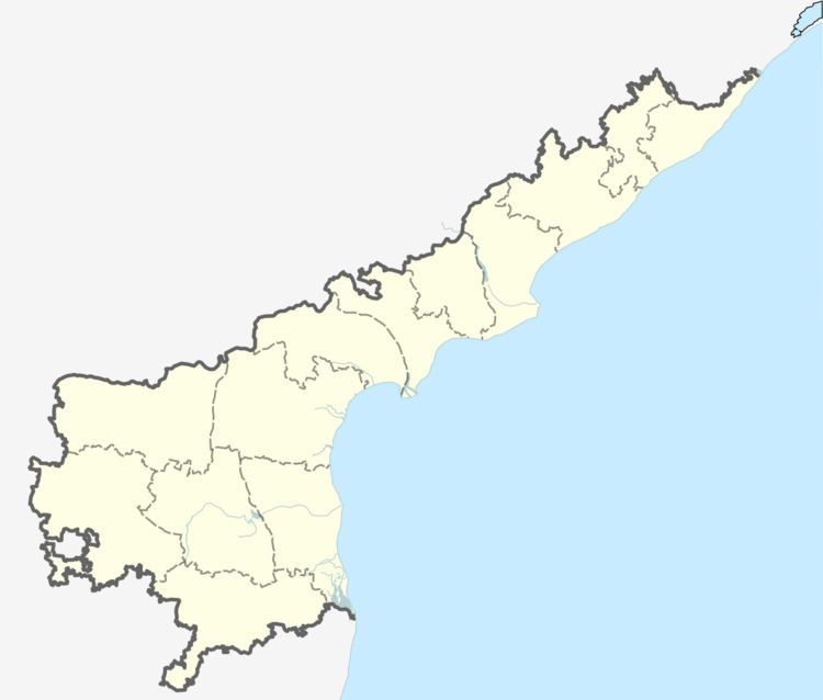
- Map of Pedapulipaka Andhra Pradesh 521137
- Official Info
- Nearby towns and villages
- Schools near Pedapulipaka
- Colleges near Pedapulipaka
- Banks near Pedapulipaka
- References
Map of Pedapulipaka, Andhra Pradesh 521137
It is about 7 km from the city of Vijayawada.
Pedapulipaka is surrounded by Yenumalakuduru, Chodavaram, Tadigadapa and Penamaluru . Pedapulipaka lies on the banks of River Krishna and has a population of about 4,500. The village maintains own identity and charm despite the massive urbanisation in the vicinity. There is a lake (Chinna cheruvu) in the middle of the village and a canal passes by the village and is the major irrigation source for agriculture.
The village has 1 Christian Church (Pentecost church), 1 Mosque, 3 Temples and a primary school (up to class 7).Official Info
Nearby towns and villages
Schools near Pedapulipaka
Colleges near Pedapulipaka
Banks near Pedapulipaka
References
Pedapulipaka Wikipedia(Text) CC BY-SA
