
Lake type Glacial Lake Max. length 0.5 km (0.31 mi) Surface elevation 322 m Width 500 m Number of islands 0 | Primary inflows Basin countries Canada Max. width 0.5 km (0.31 mi) Length 500 m Inflow source Mistik Creek | |
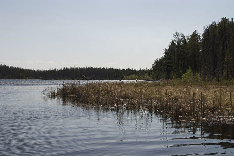 | ||
Payukosap Lake is a glacial lake above the confluence of Holt Lake and Mistik Creek, approximately 23 kilometres (14 mi) northeast of Bakers Narrows. As a segment of the Mistik Creek, it is part of the Nelson River watershed, in the Hudson Bay drainage basin in the Northern Region of Manitoba, Canada. The surrounding mixed deciduous and coniferous forest is part of the Churchill River Upland portion of the Midwestern Canadian Shield forests. The region around the lake consists of rocky parallel ridges with poorly drained areas of muskeg and irregular stony shorelines due to intense glaciation. The lake is situated on the well known "Mistik Creek Loop", a remote canoe route 80 kilometres (50 mi) in length which can be paddled in four days.
Contents
Map of Payukosap Lake, Division No. 21, Unorganized, MB, Canada
Etymology
Payukosap is Cree for "eleven". It is notable for being one of fourteen lakes on Mistik Creek named in numeric order in Cree. The fourteen lakes listed by their Cree names with the english translations in order from south to north are: