
Time zone CST (UTC-6) Elevation 223 m Local time Saturday 12:01 AM | GNIS feature ID 2397852 Area 78.17 km² Population 5,617 (2000) | |
 | ||
ZIP codes 65047, 65049, 65052, 65065, 65079 Weather 12°C, Wind SE at 14 km/h, 92% Humidity Points of interest Lake of the Ozarks, Miner Mike's Inc, Lake of the Ozarks State Park, Party Cove, Get Air Osage Beach | ||
Pawhuska Township is one of eleven townships in Camden County, Missouri, USA. As of the 2000 census, its population was 5,617.
Contents
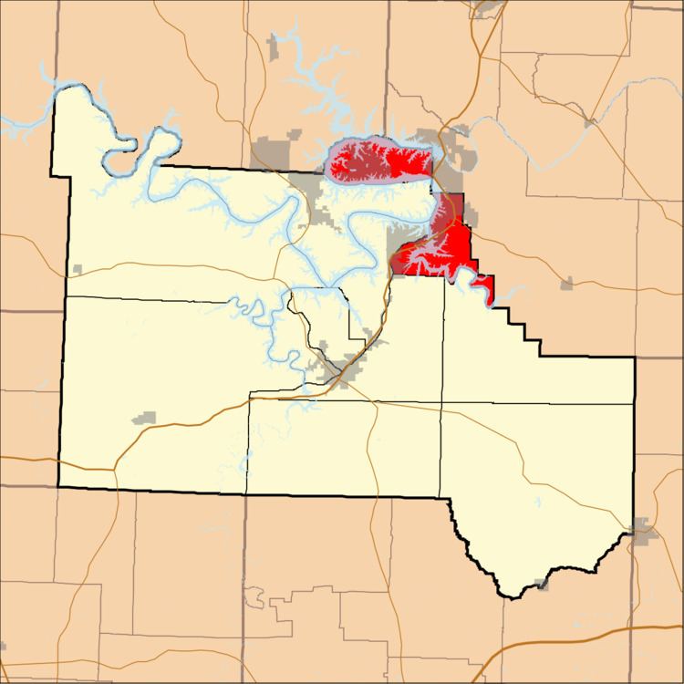
- Map of Pawhuska Township MO USA
- Geography
- Cities towns villages
- Unincorporated towns
- Adjacent townships
- Cemeteries
- Major highways
- Airports and landing strips
- Landmarks
- School districts
- Political districts
- References
Map of Pawhuska Township, MO, USA
Geography
According to the United States Census Bureau, Pawhuska Township covers an area of 30.18 square miles (78.17 square kilometers); of this, 19.48 square miles (50.46 square kilometers, 64.55 percent) is land and 10.7 square miles (27.72 square kilometers, 35.46 percent) is water.
Cities, towns, villages
Unincorporated towns
(This list is based on USGS data and may include former settlements.)
Adjacent townships
Cemeteries
The township contains these six cemeteries: Arnold, Conway, Downing, Houston, Riverview and Stevens.
Major highways
Airports and landing strips
Landmarks
School districts
Political districts
References
Pawhuska Township, Camden County, Missouri Wikipedia(Text) CC BY-SA