
Area 622 km² | Time zone EET (UTC+2) Population 26,342 (Dec 2009) | |
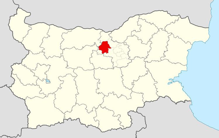 | ||
Pavlikeni Municipality (Bulgarian: Община Павликени) is a municipality (obshtina) in Veliko Tarnovo Province, Central-North Bulgaria, located mostly in the Danubian Plain. It is named after its administrative centre - the town of Pavlikeni.
Contents
Map of Pavlikeni, Bulgaria
The municipality embraces a territory of 622,56 km² with a population of 26,342 inhabitants, as of December 2009.
The Hemus motorway is planned to cross the area, connecting the capital city of Sofia with the port of Varna on the Bulgarian Black Sea Coast.
Settlements
Pavlikeni Municipality includes the following 20 places (towns are shown in bold):
Demography
The following table shows the change of the population during the last four decades.
References
Pavlikeni Municipality Wikipedia(Text) CC BY-SA