
Area 883 km² | Time zone EET (UTC+2) Population 88,724 (Dec 2009) | |
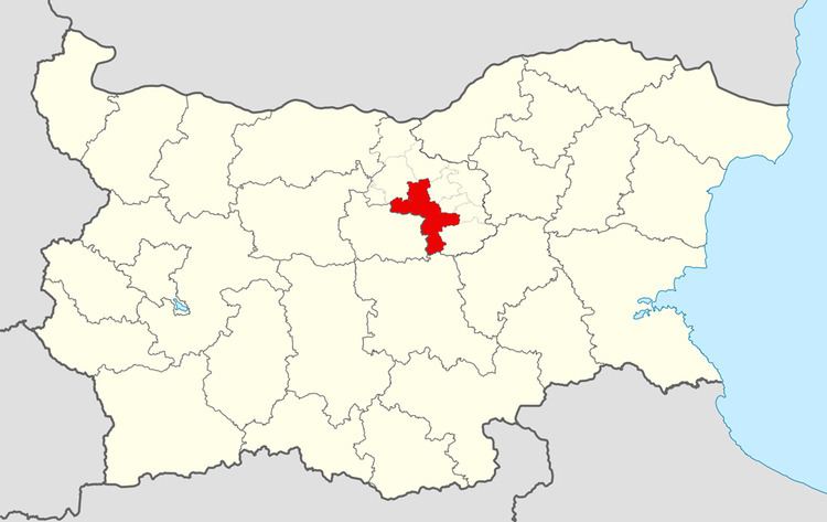 | ||
Veliko Tarnovo Municipality (Bulgarian: Община Велико Търново) is a municipality (obshtina) in Veliko Tarnovo Province, Central-North Bulgaria, located mostly in the so-called Fore-Balkan area north of Stara planina mountain. It is named after its administrative centre - the old capital of the country, the city of Veliko Tarnovo which is also the main town of the province.
Contents
Map of Veliko Tarnovo, Bulgaria
The municipality embraces a territory of 883 km² with a population of 88,724 inhabitants, as of December 2009.
The area is a crossroads of two of the major transport corridors in Bulgaria - road E772 which connects the capital of Sofia with the port of Varna and road E85 which connects the city of Ruse on Danube river with Shipka pass. The Hemus motorway is planned to cross the municipality north of its main town.
Settlements
(towns are shown in bold):
Demography
The following table shows the change of the population during the last four decades. Since 1992 Veliko Tarnovo Municipality has comprised the former municipality of Kilifarevo and the numbers in the table reflect this unification.
Ethnic composition
According to the 2011 census, among those who answered the optional question on ethnic identification, the ethnic composition of the municipality was the following: