
Time zone CST (UTC-6) | Elevation 287 m Area code 204 | |
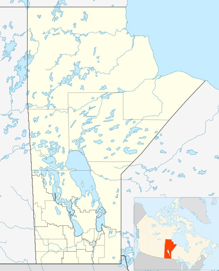 | ||
Paulson is a locality in Manitoba, Canada. It is located 9 kilometres (6 mi) southeast of Dauphin and 186 miles (299 km) northwest of Winnipeg.
Contents
Map of Paulson, MB, Canada
Paulson lies within the Rural Municipality of Dauphin.
Royal Canadian Air Force
Paulson was the site of British Commonwealth Air Training Plan No. 7 Bombing & Gunnery School during World War II. The first commanding officer was Wing Commander W. I. Riddell when the school opened in 1941. The station magazine was the "Paulson Post", and the airfield, now abandoned, was located at 51°08′04″N 099°51′58″W .
References
Paulson, Manitoba Wikipedia(Text) CC BY-SA