
Population 16,979 (2011) | Time zone IST (UTC+5:30) Vehicle registration WB Local time Saturday 1:25 AM | |
 | ||
Weather 26°C, Wind SW at 13 km/h, 85% Humidity | ||
Barrackpore patulia via ruiya town towards kalyani expressway dash cam video 1080p 60fps
Patulia is a census town in Barrackpore II CD Block in Barrackpore subdivision in North 24 Parganas district in the Indian state of West Bengal. Khardaha police station serves this block.
Contents
- Barrackpore patulia via ruiya town towards kalyani expressway dash cam video 1080p 60fps
- Map of Patulia Barrackpore West Bengal
- Geography
- Demographics
- Healthcare
- References
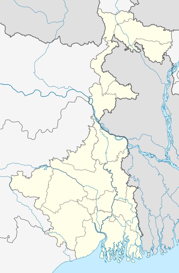
Map of Patulia, Barrackpore, West Bengal
Geography
Patulia is located at 22°43′26″N 88°23′49″E.
Demographics
As per 2011 Census of India Patulia had a total population of 16,979, of which 8,627 (51%) were males and 8,352 (49%) were females. Population below 6 years was 1,481. The total number of literates in Patulia was 13,739 (88.65 % of the population over 6 years).
As of 2001 India census, Patulia had a population of 13,825. Males constitute 52% of the population and females 48%. Patulia has an average literacy rate of 80%, higher than the national average of 59.5%: male literacy is 84% and female literacy is 75%. In Patulia, 9% of the population is under 6 years of age.
Healthcare
North 24 Parganas district has been identified as one of the areas where ground water is affected by arsenic contamination.