
Raion (district) Dolyna Elevation 400 m (1,300 ft) Area 8.89 km² | Founded 1674 Time zone EET (UTC+2) Local time Friday 8:31 PM | |
 | ||
Weather 6°C, Wind NW at 11 km/h, 87% Humidity | ||
Patsykiv (Ukrainian: Пациків, Polish: Pacyków) is a small village located in Ivano-Frankivsk Oblast and lies on the river Svicha.
Contents
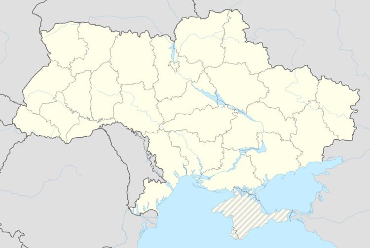
- Map of Patsykiv Ivano Frankivska Ukraine
- History
- Location
- Climate
- Demographics
- Government
- Religion
- References
Map of Patsykiv, Ivano-Frankivska, Ukraine
History
The village was a property of Andrzej Żurakowski and until 1772 belonged to Poland. In 1772 it was, together with Galicia, annexed to Austria (until 1918). In 1880 it was inhabited by 436 people. A well-known faience factory existed here from 1912 to 1939 known for its art-déco pottery. From 1919 to 1939 village belonged to Poland, under Soviet occupation 1939-41, then from 1941 to 1944 under German occupation in District Galicia of General Government. Since 1944/45 to 1991 annexed to the USSR.
Location
Patsykiv is located in the Prykarpattia, approximately 120 km (75 mi) from Lviv and 70 km (43 mi) from Ivano-Frankivsk. The average altitude of Pac sykiv is 400 m (1,312.34 ft) above sea level.
Climate
Patsykiv's climate is humid continental (Köppen climate classification Dfb). The average temperatures are −6 °C (21 °F) in January and 25 °C (77 °F) in June. Average annual rainfall is 600 mm (24 in) with the maximum being in summer. Cloud coverage averages 70 days per year.
Demographics
The population of Patsykiv consist mainly of Ukrainians.
Government
Government
Religion
Patsykiv is a city of one religion - Christian. There are two Christian churches, which represent two Christian groups: The Ukrainian Greek Catholic Church and the Orthodox Church.