
GNIS feature ID 453710 Area 113.5 km² Population 3,062 (2010) | ZIP codes 47567, 47598, 47660 Elevation 138 m Local time Friday 10:08 AM | |
 | ||
Weather 17°C, Wind S at 18 km/h, 71% Humidity | ||
Patoka Township is one of nine townships in Pike County, Indiana, United States. As of the 2010 census, its population was 3,062 and it contained 1,358 housing units.
Contents
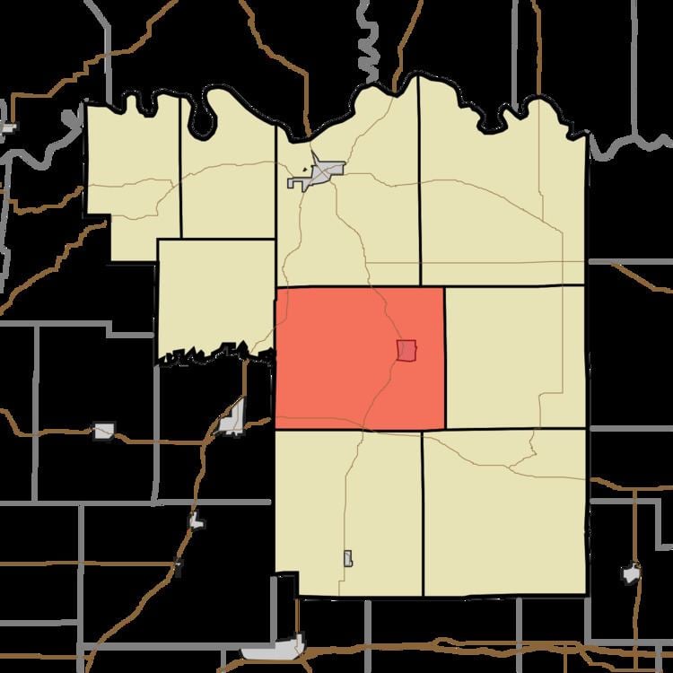
- Map of Patoka Township IN USA
- History
- Geography
- Cities towns villages
- Unincorporated towns
- Cemeteries
- Major highways
- School districts
- Political districts
- References
Map of Patoka Township, IN, USA
History
Patoka Township was organized in 1838.
Geography
According to the 2010 census, the township has a total area of 43.81 square miles (113.5 km2), of which 42.58 square miles (110.3 km2) (or 97.19%) is land and 1.23 square miles (3.2 km2) (or 2.81%) is water. The Patoka River flows through the township from east to west.
Cities, towns, villages
Unincorporated towns
(This list is based on USGS data and may include former settlements.)
Cemeteries
The township contains these eight cemeteries: Crow, Hedges, Martin, Oak Hill, Sugar Ridge, Sunset, Williams and Wyatt.
Major highways
School districts
Political districts
References
Patoka Township, Pike County, Indiana Wikipedia(Text) CC BY-SA