
PIN 182142 Elevation 2,024 m | Time zone IST (UTC+5:30) Website patnitop.nic.in | |
 | ||
Weather 13°C, Wind E at 5 km/h, 46% Humidity | ||
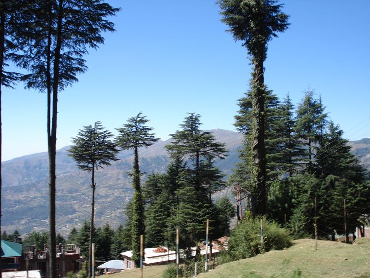
Patnitop or Patni Top is a hilltop tourist location in Udhampur district in Jammu and Kashmir state of India on National Highway 44 112 km (70 mi) from Jammu on the way from Udhampur to Srinagar. Situated on a plateau in the Shivalik belt of the Himalayas, Patnitop sits at an altitude of 2,024 m (6,640 ft). The river Chenab flows in close proximity to this location.
Contents
Map of Patnitop
Patnitop filled with snow travelwithnoor
Patnitop bypass road tunnel
Snowfall and avalanche in winter at Patnitop obstructs National Highway 44 (earlier name: National Highway 1A) a few times every winter and causes long queues of vehicles - sometimes for days at length. India's longest road tunnel, the 9.2 km (6 mi) long Chenani-Nashri Tunnel or Patnitop Tunnel has been excavated starting from about 2 km (1 mi) from Chenani town south of Patnitop to Nashri village north of Patnitop to reduce the distance from Jammu to Srinagar and reduce traffic jams on NH 44 that occur due to snowfall and avalanche in winter at Patnitop.
The Southern portal (end) of the tunnel is at 33.0463°N 75.2793°E / 33.0463; 75.2793 and the Northern portal (end) of the tunnel is at coordinates 33.1285°N 75.2928°E / 33.1285; 75.2928. When the road tunnel is opened to traffic by the middle of 2017, the highway will no longer pass through Patnitop. The tunnel will reduce the length of the highway by 31 km (19 mi) and the highway will bypass Patnitop. The excavation of the tunnel has been completed and it is expected to be opened for traffic by middle of 2017.