
Elevation 535 m (1,755 ft) | Local time Friday 12:22 PM | |
 | ||
Weather 23°C, Wind NE at 21 km/h, 60% Humidity Civil parish | ||
Patim (Fogo Crioulo: Patin) is a settlement in the southwestern part of the island of Fogo, Cape Verde. It is situated 8 km southeast of the island capital São Filipe. Its 2010 census population was 876. Its elevation is 535 meters. One of the nearby places is Monte Grande which is located nearly to the east and is connected with another road, another one connects with Vicente Dias. Patim are situated between the small streams of "Ribeira Vilhal" (Rubera Bidjal in Fogo Crioulo) in the northeast and "Ribeira Chade Antônio" (Rubera Tchad'Antoni in Fogo Crioulo) in the southeast and sits above the Atlantic overlooking the island of Brava.
Contents
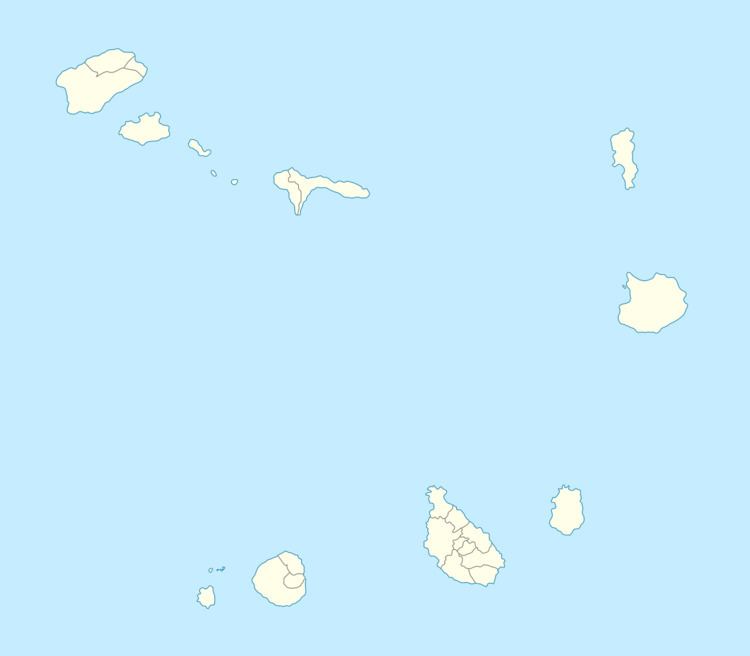
Map of Patim, Cape Verde
In a part of 2014 and 2015 especially in early December, the volcanic clouds covered Patim at an elevation of about 3,000-4,000 above sea level and were heading nearly southward.
About Patim
The area are one of the most popular in Fogo. The two main bridges are around the walkways. Bars includes Esplanada Nova Aurora, a mini-market named Cá Basé. Aluguer buses connect the village with the capital and Cova Figueira except for Sundays and holidays, it has no fixed schedule.
Agriculture is the main industry, tourism is rare in Patim.
The football (soccer) club for the settlement is ABC de Patim, its matches are played in the island capital.
Climate
Its climate is about a degree warmer than Monte Grande and Monte Largo as it is in a lower elevation than the town but higher than the Atlantic. Its annual precipitation is 162.6 mm.