Elevation 4,200 m | ||
 | ||
Similar Sico Pass, Licancabur, Valle de la Luna, San Francisco Pass, Portezuelo del Cajón | ||
Video completo travessia paso de jama purmamarca argentina san pedro de atacama chile
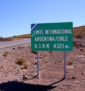
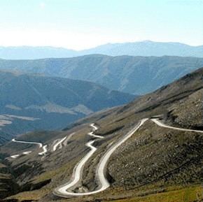
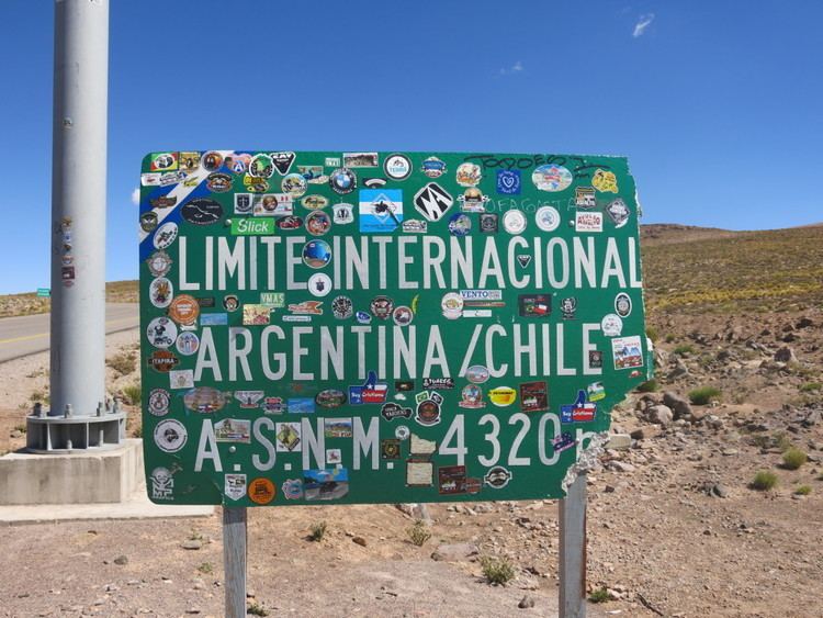
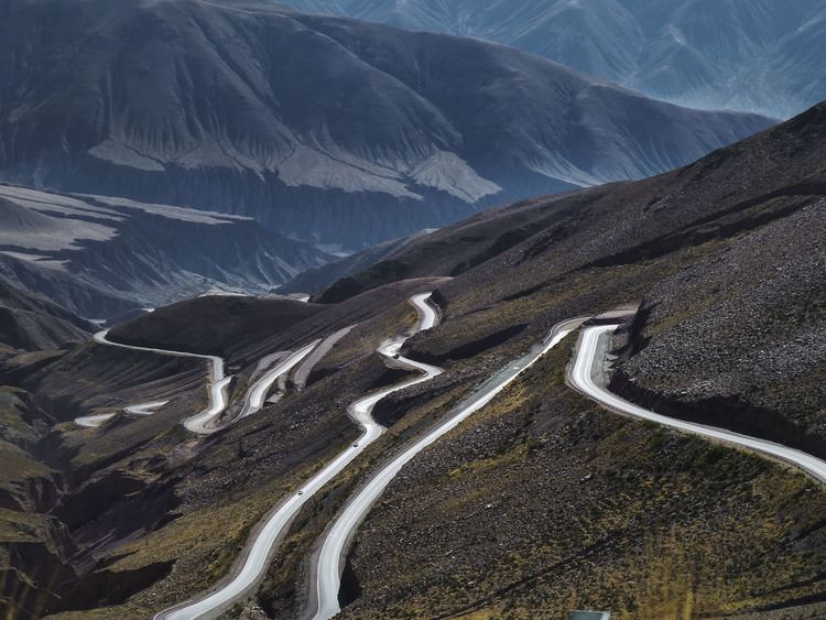
The Paso de Jama is a mountain pass through the Andes between Chile and Argentina, at an elevation of 4,200 m (13,800 ft) at the border. It is the northernmost road border crossing between the two countries. The pass is reached via Chile Route 27 and via National Route 52 (Argentina). The Chile Route 27 reaches an altitude of 4,810 m (15,780 ft) 100 km west of the border.
Contents
- Video completo travessia paso de jama purmamarca argentina san pedro de atacama chile
- Paso de jama
- References
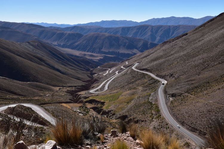
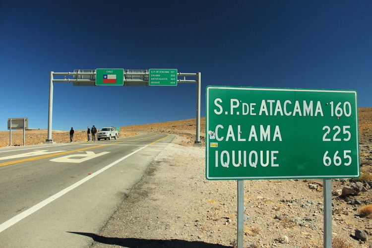
The pass links the city of Jujuy in Argentina with San Pedro de Atacama in Chile. The road was opened on 6 December 1991, and is paved throughout since the year of 2005. It is open throughout the year, although occasionally closed by snow. It is used by truck traffic between northern Argentina and Paraguay and the ports of northern Chile.
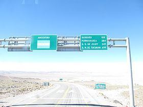
The Argentine border station is five kilometers east of the border in the small settlement of Jama at 4,100 metres (13,500 ft), 23°14′14″S 67°01′22″W As of at least 2016 this site offers joint entry/exit processing by Chilean and Argentine authorities for customs, immigration, and other checks.
Paso de jama