 | ||
Similar Iztaccihuatl, Popocatépetl, Venados Acariciables, Pico de Orizaba, Malinche | ||
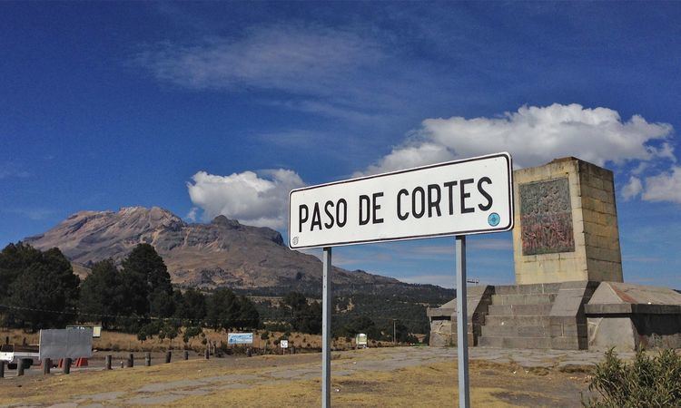
Paso de cort s interactivo
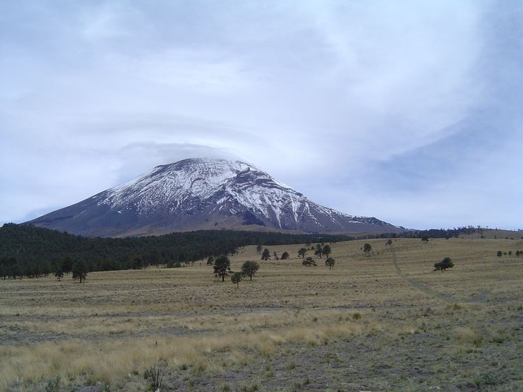
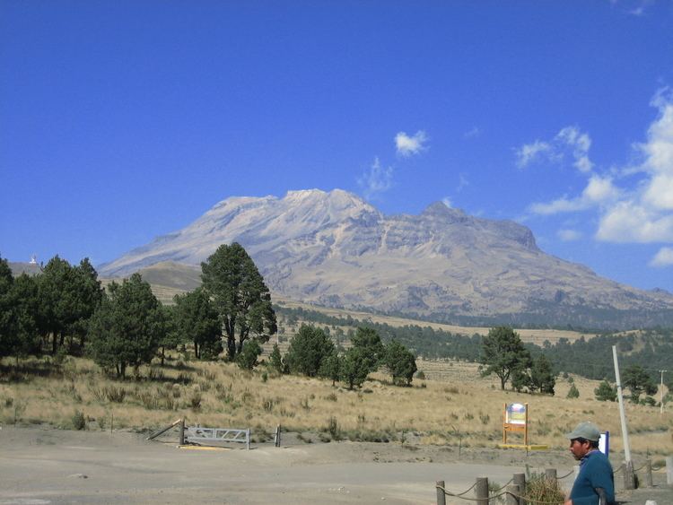
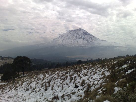
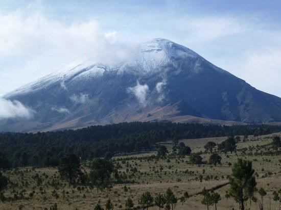
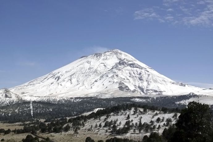
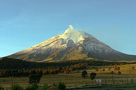
The Paso de Cortés is the mountain pass or saddle between the Popocatépetl and Ixtaccíhuatl volcanoes in central México. It thus forms part of the Trans-Mexican Volcanic Belt, and is a place where the normally southeast-tending continental divide heads north for over 10 miles. The altitude of the pass is about 3400 m. (11,150 ft.) It is located in the Municipality of Amecameca in the State of Mexico.
Contents
Paso de cort s entre puebla y el estado de m xico
History
The name derives from the fact that in 1519 Hernán Cortés and his men, after the battle and massacre of Cholula, marched over this pass to the valley of Mexico and city of Tenochtitlán in order to confront the Aztecs and their emperor Moctezuma. It is said (but also denied) that some of Cortés' men climbed Popocatépetl at this time, lowered each other into the crater, and brought back sulphur to make gunpowder with.
Access
There is a paved road from Amecameca on the Mexico City side up to the Paso de Cortés and from there south to Tlamacas at the beginning of the pot of Popocatépetl or north to the area near the feet of Ixtaccíhuatl. The Paso can also be reached on dirt trails, at least sometimes drivable by 4-wheel-drive vehicles, from Cholula.