
Time zone CET/CEST (UTC+1/+2) Area 54.99 km² Local time Friday 4:10 AM Dialling code 03973 | Elevation 15 m (49 ft) Postal codes 17309 Population 10,535 (31 Dec 2015) Postal code 17309 | |
 | ||
Weather 1°C, Wind SW at 5 km/h, 90% Humidity | ||
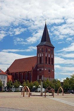
Pasewalk ( [ˈpaːzəvalk]) is a town in the Vorpommern-Greifswald district, in the state of Mecklenburg-Vorpommern in Germany. Located on the Uecker river, it is the capital of the former Uecker-Randow district, and the seat of the Uecker-Randow-Tal Amt of which it is not part.
Contents
- Map of 17309 Pasewalk Germany
- History
- Mayors of Pasewalk
- Born in Pasewalk
- International relations
- References
Map of 17309 Pasewalk, Germany
History
Pasewalk became a town during the 12th century and was soon a member of the Hanseatic League. In 1359 it passed to the Duke of Pomerania. Frequently ravaged during the wars which devastated the district, it was plundered several times by Imperial troops during the Thirty Years' War. In 1657 it was burned down by the Poles and in 1713 by the Russians. In the Peace of Westphalia in 1648 it was given to Sweden, but in 1676 it was conquered by Brandenburg. In 1720, in the Peace of Stockholm, it was finally assigned to Brandenburg-Prussia. The town is famous for having been surrendered to the French without a fight during the War of the Fourth Coalition, despite them being way less numerous than the defenders of the city. On the day World War I ended, the future dictator of Germany Adolf Hitler was being treated here after being wounded by a gas attack. During the Battle of Berlin, part of World War II, Pasewalk was captured by troops of the 2nd Belorussian Front of the Red Army on 28 April 1945.
Mayors of Pasewalk
Born in Pasewalk
International relations
Pasewalk is twinned with: