
Population 1,873 (2011) | Time zone IST (UTC+5:30) Vehicle registration WB | |
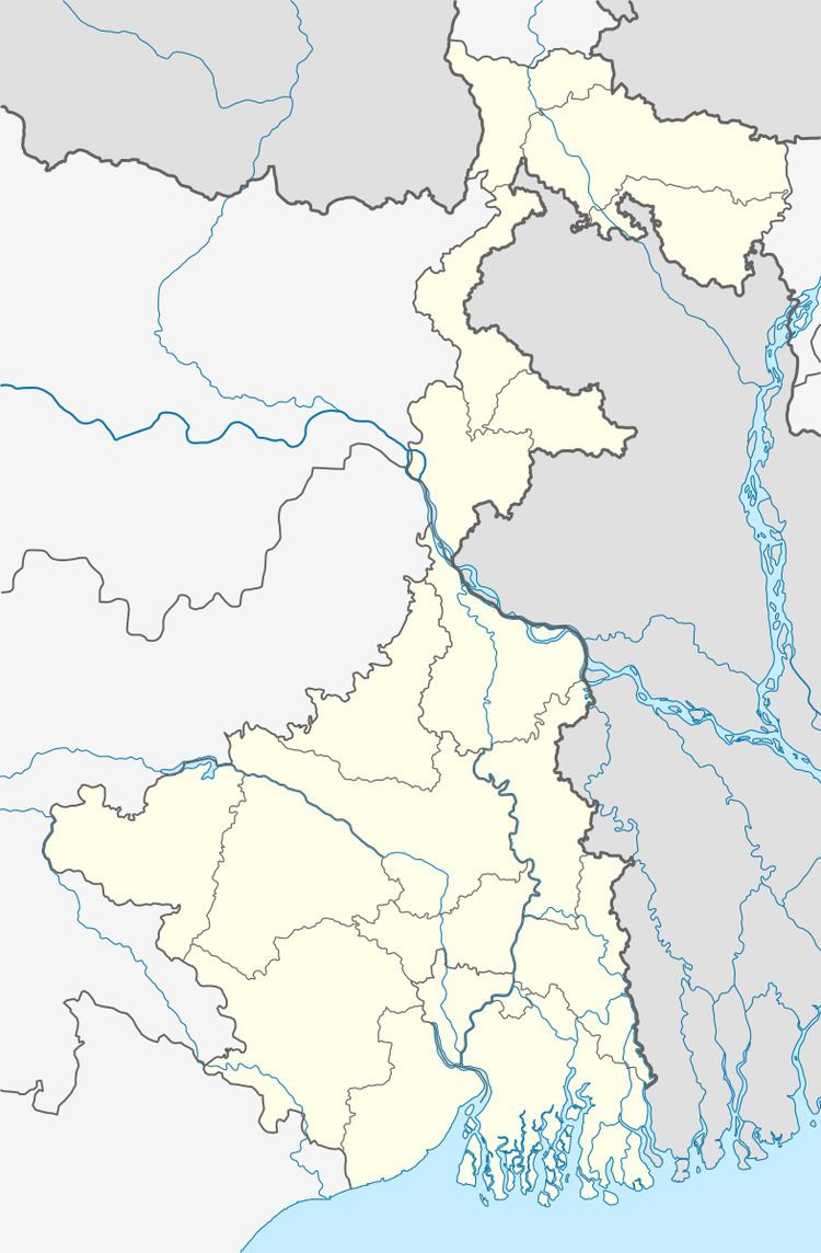 | ||
Paschim Tajpur (Bengali: পশ্চিম তাজপুর) is a village in Chanditalal–I community development block of Srirampore subdivision in Hooghly District in the Indian state of West Bengal.
Contents
Map of Paschim Tajpur, West Bengal
Geography
Paschim Tajpur is located at: 22°45′19″N 88°11′10″E
References
Paschim Tajpur Wikipedia(Text) CC BY-SA