
Length 0.45 km (0.28 mi) Population Uninhabited | Archipelago Aitcho group Width 0.26 km (0.162 mi) | |
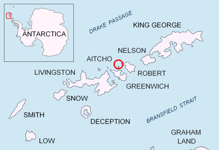 | ||
Pasarel Island (Bulgarian: остров Пасарел, ‘Ostrov Pasarel’ \'os-trov pa-sa-'rel) is an ice-free island in the Aitcho group on the west side of English Strait in the South Shetland Islands, Antarctica. The island is situated 900 m (980 yd) northwest of Barrientos Island, 1.35 km (0.84 mi) northeast of Sierra Island and 650 m (710 yd) southeast of Emeline Island. Extending 450 by 260 m (490 by 280 yd). The area was visited by early 19th century sealers.
Contents
Map of Pasarel Island, Antarctica
Named after the settlement of Dolni (Lower) Pasarel in western Bulgaria.
Location
Pasarel Island is located at 62°23′50″S 59°46′30″W. Bulgarian mapping in 2009.
Map
References
Pasarel Island Wikipedia(Text) CC BY-SA