
Postcode(s) 5311 Postal code 5311 | Local time Friday 11:08 AM | |
 | ||
Weather 26°C, Wind E at 14 km/h, 50% Humidity | ||
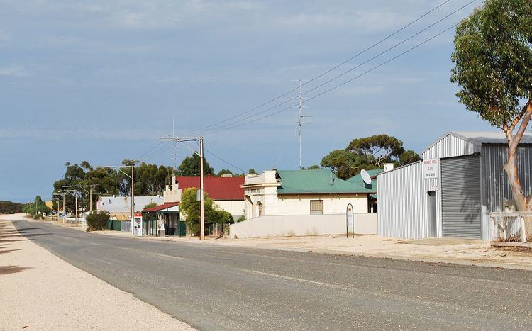
Paruna is a town in eastern South Australia. The town is located on the Browns Well Highway, where it crosses the former Barmera railway line, 237 kilometres (147 mi) east of the state capital, Adelaide.
Map of Paruna SA 5311, Australia
Purana is an aboriginal word meaning "stopping place".
The Barmera railway line from Adelaide was opened to Paruna on 1 May 1913 and a further 11 km to Meribah within the week. It was later extended north to Paringa then across the Paringa bridge to Renmark and Barmera, but has now been closed and removed.
Paruna School operated between 1917 and 1965, and Paruna North School between 1925 and 1941. Brown's Well District Area School closed in 2007. The effects of prolonged drought and the movement of population to larger centres has led to the closure of a number of other facilities over recent years, including the general store and the golf club.
Paruna was the seat of the District Council of Brown's Well until a merger that created the District Council of Loxton Waikerie in 1997.