
Vehicle registration BM Elevation 702 m Population 1,755 (1 Apr 2009) Postal code 8605 | Time zone CET (UTC+1) Website www.parschlug.at Area 21 km² Local time Thursday 8:01 PM Area code 03862 | |
 | ||
Weather 9°C, Wind W at 3 km/h, 63% Humidity | ||
Parschlug was a municipality in Austria which merged in January 2015 into Kapfenberg in the Bruck-Mürzzuschlag District of Styria, Austria.
Contents
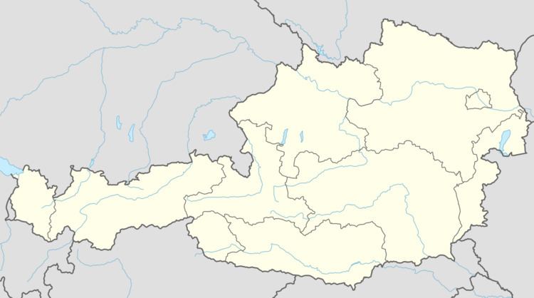
Map of Parschlug, Austria
Geography
Parschlug lies north of central Kapfenberg at the foot of the Zöbererhöhe.
Its boroughs were Parschlug, Pogier, Pönegg, and Göritz.
History
The earliest surviving record of Parschlug appears in connection with a document gifting lands to Viktring Abbey, dating from 1203.
Around 1800 commercial exploitation of the local brown coal deposits began, and the modern municipality was founded in 1854.
People
References
Parschlug Wikipedia(Text) CC BY-SA