
Admin. region Oberpfalz Time zone CET/CEST (UTC+1/+2) Population 6,561 (31 Dec 2008) Postal code 92331 Administrative region Upper Palatinate | Elevation 553 m (1,814 ft) Area 57 km² Local time Thursday 8:00 PM Dialling code 09492 | |
 | ||
Weather 7°C, Wind E at 8 km/h, 86% Humidity | ||
Parsberg is a town in the county of Neumarkt in Bavaria, Germany. It is situated 23 km southeast of Neumarkt in der Oberpfalz, and 33 km northwest of Regensburg, next to the A3 autobahn, the main route from Nuremberg to Regensburg (and then on into Austria). It was formerly the seat of the Counts of Parsberg, whose coat of arms is now used by the town.
Contents
Map of 92331 Parsberg, Germany
Sightseeing
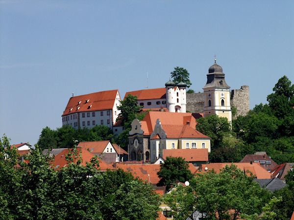
Parsberg Castle and museum (the museum is only open on Sundays or by appointment). Parsberg also has a beautiful medieval church. The city of Lupburg and the U.S. Army installation at Hohenfels are nearby, as is the lovely Altmuhl river valley. In addition, there are numerous castles and ruins are in the area.
Services
Parsberg has a regional hospital and is served by the Deutsche Bahn at its railway station, with routine service to nearby large cities.