
Established 1849 Area 163 ha Postal code 5063 | Postcode(s) 5063 Founded 1849 Local time Friday 12:11 AM | |
 | ||
Population 4,634 (2011 census)4,618 (2006 census) Weather 19°C, Wind SE at 10 km/h, 73% Humidity Federal division Division of Adelaide (2011) | ||
Picturesque suburban family home in parkside south australia
Parkside is an inner southern suburb of Adelaide, South Australia. It is located in the City of Unley.
Contents
- Picturesque suburban family home in parkside south australia
- Map of Parkside SA 5063 Australia
- History
- Geography
- Demographics
- Community
- Schools
- Shopping and dining
- Parks
- Roads
- Public transport
- References
Map of Parkside SA 5063, Australia
History
The suburb was once home to the mental health campus of the Royal Adelaide Hospital. Known as 'The Parkside Asylum', it was the primary mental health facility in the state, and occupied approximately one-third of the suburb's area.
Parkside Post Office opened on 10 December 1859 and was renamed Eastwood in 1967.
Geography
Parkside lies on the southern boundary of the southern park lands. It is bounded, among others, by Glen Osmond, Greenhill, Unley and Fullarton roads.
Demographics
The 2011 Census by the Australian Bureau of Statistics counted 4,634 persons in Parkside on census night. Of these, 46.9% were male and 53.1% were female.
The majority of residents (72.3%) are of Australian birth, with other common census responses being England (5.2%), Greece (2.9%) and Italy (2.8%).
The age distribution of Parkside residents is comparable to that of the greater Australian population. 71.7% of residents were over 25 years in 2006, compared to the Australian average of 66.5%; and 28.3% were younger than 25 years, compared to the Australian average of 33.5%.
Community
The local newspaper is the Eastern Courier Messenger. Other regional and national newspapers such as The Advertiser and The Australian are also available.
Schools
Parkside Primary School is located on Robsart Street. St Raphael's School is on Glen Osmond Road.
Shopping and dining
The suburb is within walking distance of the Unley Road shopping and dining precinct.
Parks
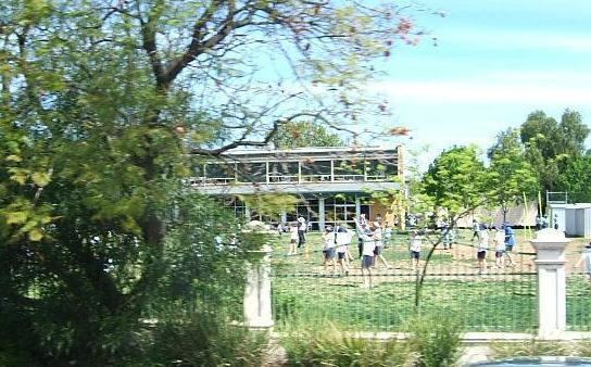
One of the largest parks in Parkside is Howard Florey Reserve, on the corner of Campbell Road and Fullarton Road. Henry Codd Reserve lies between Maud Street and Fuller Street and connects via a walking trail to the Leicester Street playground. There is also Mcleay Park, lying between George Street and Jaffrey Street. Most of these parks are fenced in, making them suitable for small children. All have their own playgrounds.
Roads
The suburb is serviced by several main roads. Unley and Fullarton roads connect the suburb to Adelaide city centre. Glen Osmond Road passes beside Parkside, linking the inner southeast of metropolitan Adelaide to the South Eastern Freeway.
Public transport
Public transport in Parkside is serviced by routes 171 and 172, run by the Adelaide Metro.
The Adelaide to Glenelg tram line is also very close to Parkside and in the olden days, there was another tram line running south from the city.