Country United States Area code(s) 539/918 Elevation 314 m | Time zone Central (CST) (UTC-6) FIPS code 40-00700 Local time Thursday 8:08 AM | |
 | ||
Weather 12°C, Wind SE at 10 km/h, 82% Humidity | ||
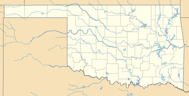
Parkland is a ghost town in northern Lincoln County, Oklahoma, United States. It is 4 miles (6 km) south of Agra, Oklahoma. Its name was adopted "to describe the character of the townsite". It still exists as a small community.
Contents
Map of Parkland, Oklahoma 74824, USA
History
The land where Parkland is located was opened to white settlement by the Land Run of 1891 on 28 September of that year. The Parkland Post Office was established some three years later, on 19 December 1894, with McShelly Fishback as the first postmaster. The Parkland Post Office was closed on 15 June 1918.
A tornado on 30 May 1897 demolished several houses of the town, killing two and wounding several.
Free lots in the town of Kendrick, Oklahoma were offered to business owners in Parkland if they would move when Kendrick was platted in 1902.
Chandler, Oklahoma and Stroud, Oklahoma were nearby railroad points. The Parkland Telephone company was organized and built telephone lines from Chandler to Stroud, linking them with Parkland and Cushing, Oklahoma. Later these lines were purchased by the Arkansas Valley Telephone Company.
Parkland Cemetery is located approximately one mile (1.6 km) north of the community, at 35°51'15N 96°50'31"W.
