
Type Highway Gazetted 21 July 1960 | Opened 29 November 1961. | |
 | ||
Maintained by Territory and Municipal Services History Further stages of Parkes Way were built progressively and completed on the following dates:2nd Stage - 5 April 1963.Final Stage - 17 October 1979 West end Tuggeranong ParkwayCaswell Drive (GDE)William Hovell DriveMolonglo / Belconnen / Canberra Central district border, Canberra | ||
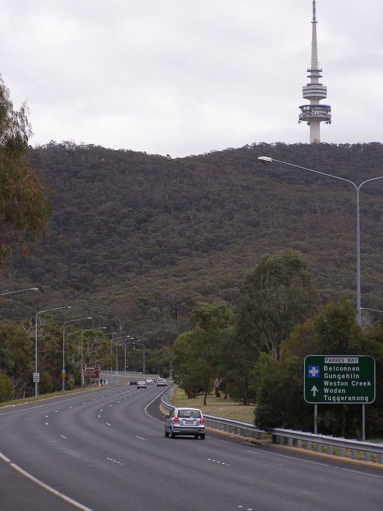
Parkes Way is a major road in Canberra, Australia, which runs east-west between Kings Avenue and the Glenloch Interchange. At Glenloch Interchange it intersects with William Hovell Drive, Tuggeranong Parkway and Caswell Drive (Gungahlin Drive Extension). The road is freeway standard from the Commonwealth Avenue overpass to Glenloch Interchange. Parkes Way is named for prominent Australian federalist, Sir Henry Parkes.
Contents
Map of Parkes Way, Australian Capital Territory, Australia
It passes by the edge of Black Mountain and under part of the Australian National University. It also passes just south of the City and north of Commonwealth Park and Kings Park on the shore of Lake Burley Griffin.
Parkes Way was created with an 80 km/h speed limit which remained in place until 2008 when it was changed to 90 km/h.
Future
Draft plans of the "City to Lake" Plan by the ACT government would see Parkes Way be split into 2 levels from the Edinburgh Avenue exit to the Anzac Parade exit. The top level would be a boulevard with street level access to new buildings in the area and intersections to other roads. The bottom level would be a freeway standard tunnel.