>847229 847229 ISO 3166 code ISO 3166-2:IN | Time zone IST (UTC+5:30) Local time Thursday 3:29 PM | |
 | ||
Website www.parjuarpanchyat.com Weather 31°C, Wind SE at 5 km/h, 46% Humidity | ||
Parjuar Dih is a village located in Benipatti block in the Madhubani district of Bihar, India. It consists of six tolas: Ramnagar, Parjuar Dih, Parjuar West, Balha, Dahila, Jetyahi and is located 19.8 km from its District Town of Madhubani.
Contents
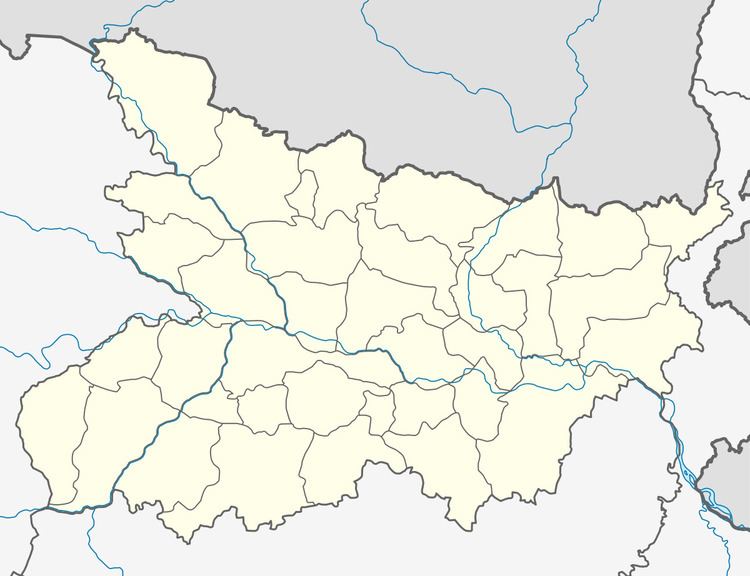
Map of Parjuar, Bihar
Nearby villages are Nav Karhi (3 km), Paraul (3.1 km), Dhanga (3.6 km), Mureth (5 km), and Phent (5.5 km). Its nearest towns are Kaluahi (5.6 km), Benipatti (9.7 km), Basopatti (10.4 km), and Loha (5.8 km). In this village one pond and one public school are available. In this village the many festivals are celebrated by youth of this village like as MAA sarde puja ,Kali puja and nawah ,shiv ratri and bhajan kirtan. .
Festivals
Important festivals consist of Durga Puja, Krishnastmi and Vishwakarma Puja in Ramnagar, Kali Puja in Dih Tol, Durga Puja in Jetyahi, Krishnastmi in Parjuar West, and Ganesh Puja in Dahila, Ramnavami Puja in Balha, Shivratri Puja in Champa.
Education
There are one Government primary schools in Parjuar Dih.
