Vehicle registration UP- | Time zone IST (UTC+5:30) Coastline 0 kilometres (0 mi) | |
 | ||
Parjani is a town in Kanpur Dehat district in the state of Uttar Pradesh, India.
Contents
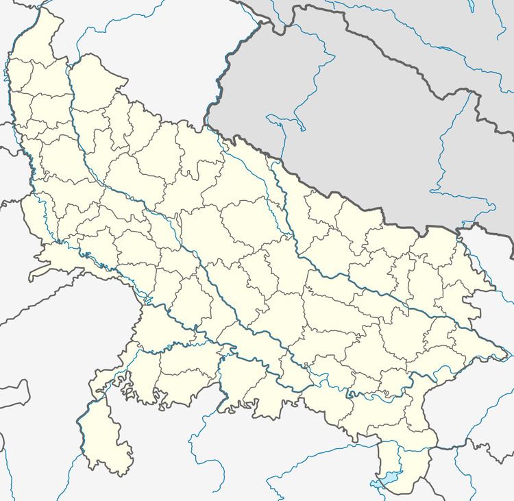
Map of Parjani, Uttar Pradesh 209302
It is located in Derapur tehsil.
Transport
Parjani Halt Railway Station is on the Agra-Kanpur rail route. It falls on the North Central railway zone. Kanpur-Etawah Passenger and Kanpur-Tundla Passenger are among the main trains that pass through this station. To the south east, Jhinjhak Station (6 km) is the nearest Station. Going north west, Kanchausi (5 km) is the next station. Kanpur Central Railway Station is the nearest major Railway station. The Station Code is: PJY.
Demographics
As of 2001 India census, Parjani had a population of 2,467. Males constitute 54% of the population and females 46%.
Geography
Parjani is located at 26°34′27″N 79°40′45″E.
References
Parjani Wikipedia(Text) CC BY-SA
