
Time zone CST (UTC-6) Elevation 210 m Zip code 61944 Local time Thursday 3:36 AM | Established November 4, 1856 GNIS feature ID 0429528 Area 117.6 km² Population 9,865 (2010) | |
 | ||
Weather -1°C, Wind E at 13 km/h, 73% Humidity | ||
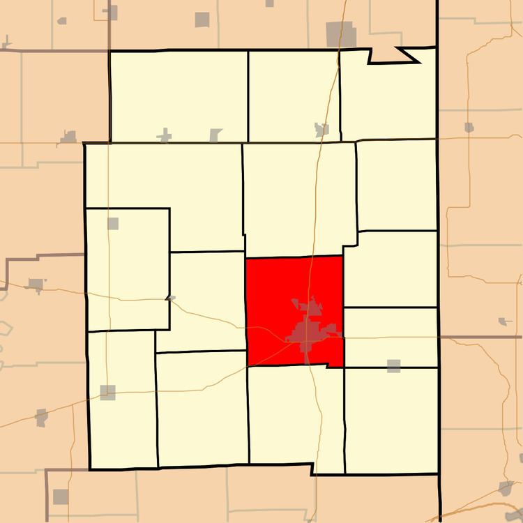
Paris Township is one of fifteen townships in Edgar County, Illinois, USA. As of the 2010 census, its population was 9,865 and it contained 4,763 housing units.
Contents
- Map of Paris Township IL 61944 USA
- Geography
- Cities towns villages
- Extinct towns
- Cemeteries
- Major highways
- Airports and landing strips
- Education
- Public School districts
- Political districts
- References
Map of Paris Township, IL 61944, USA
Geography
According to the 2010 census, the township has a total area of 45.39 square miles (117.6 km2), of which 44.98 square miles (116.5 km2) (or 99.10%) is land and 0.4 square miles (1.0 km2) (or 0.88%) is water.
Cities, towns, villages
Extinct towns
Cemeteries
The township contains these five cemeteries: Conkey, Edgar, Paris Memorial Gardens, Redmon and Saint Marys.
Major highways
Airports and landing strips
Education
Paris Township contains six schools: Carolyn Wenz Elementary School Crestwood School Mayo Middle School Memorial Elementary School, Paris Cooperative High School Saint Mary's School
Public School districts
Political districts
References
Paris Township, Edgar County, Illinois Wikipedia(Text) CC BY-SA