
Area 5,968 km² | Region Ayacucho | |
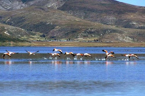 | ||
The Parinacochas Province is a province located in the Ayacucho Region of Peru. It is one of the eleven that make up that region. The province has a population of 24,028 inhabitants as of 2002. The capital of the province is Coracora.
Contents
Map of Parinacochas Province, Peru
Boundaries
Geography
The highest mountain in the province is Sara Sara at 5,505 m (18,061 ft) on the border to the Paucar del Sara Sara Province. Other mountains are listed below:
Political division
The province extends over an area of 5,968.32 square kilometres (2,304.38 sq mi) and is divided into eight districts:
Ethnic groups
The people in the province are mainly indigenous citizens of Quechua descent. Quechua is the language which the majority of the population (54.94%) learnt to speak in childhood, 44.60% of the residents started speaking using the Spanish language (2007 Peru Census).