
District Pondicherry Local time Thursday 1:01 PM Area code 0413 | State Puducherry Time zone IST (UTC+5:30) Population 36,983 (2001) | |
 | ||
Weather 33°C, Wind E at 11 km/h, 46% Humidity | ||
Parikkalpattu (Tamil: பரிக்கல்பட்டு) is a village in Bahour Commune of Bahour taluk in the Union Territory of Puducherry, India. It lies on southern border of Bahour Enclave of Puducherry district.
Contents
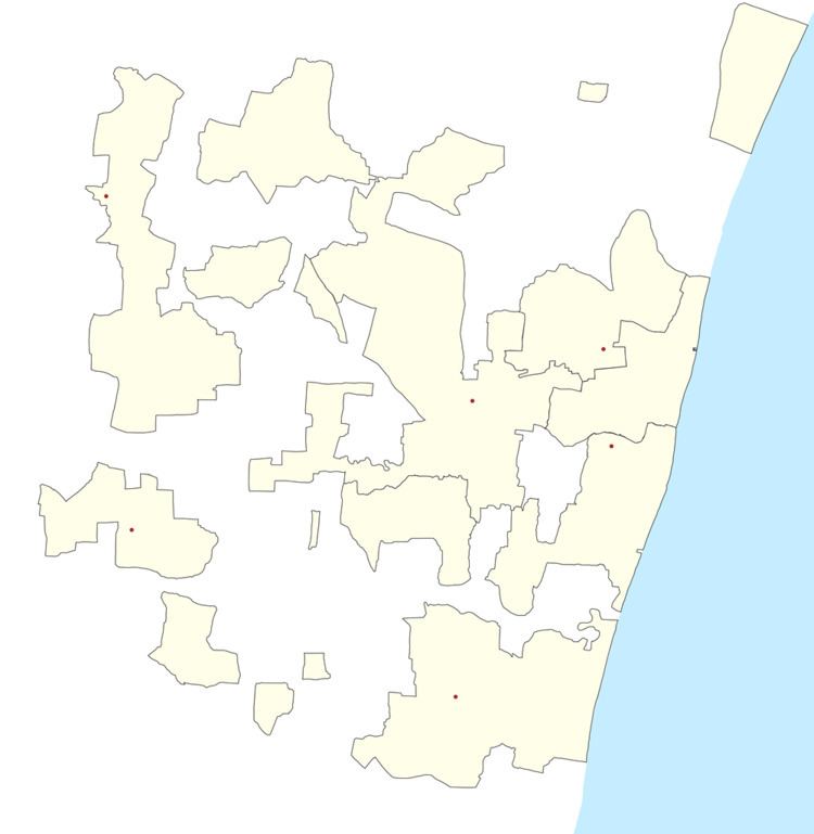
Map of Parikkalpattu, Puducherry 607402
Geography
Parikkalpattu is bordered by Kuruvinatham, Soriyankuppam in the west, Bahour in the north, Kanganakuppam village of Tamil nadu in the east and Pennaiyar River in the south.
Road Network
Parikkalpattu is connected to Bahour, its Commune Headquarters via Bahour-Parikkalpattu road. PRTC ply town bus to Parikkalpattu. But they are less frequent.
Villages
Following are the list of villages under Parikkalpattu Village Panchayat.
Politics
Parikkalpattu is a part of Bahour (Union Territory Assembly constituency) which comes under Puducherry (Lok Sabha constituency)
References
Parikkalpattu Wikipedia(Text) CC BY-SA