
District Pondicherry Population 36,983 (2001) Area code 0413 | State Puducherry Time zone IST (UTC+5:30) Local time Sunday 12:17 PM | |
 | ||
Weather 33°C, Wind SE at 5 km/h, 60% Humidity | ||
Kuruvinatham (Tamil: குருவிநத்தம்) is a village in Bahour Commune of Bahour taluk in the Union Territory of Puducherry, India. Kuruvinatham serves as a gateway for all buses plying between Villupuram - Cuddalore via Thirubuvanai. It lies on south-western tip of Bahour Enclave of Puducherry district.
Contents
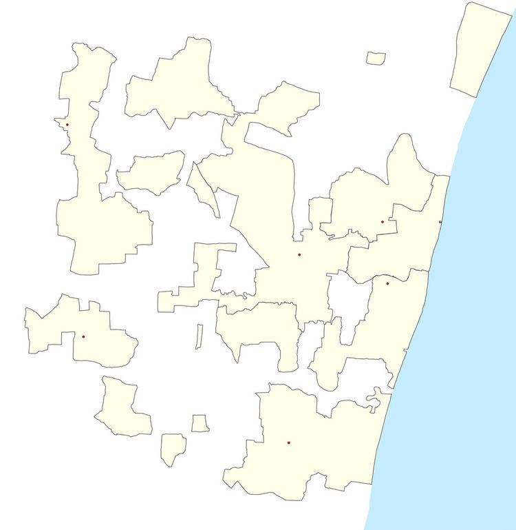
Map of Kuruvinatham, Puducherry
Geography
Kuruvinatham is bordered by Thirupanampakkam village of Tamil nadu in the west, Karaimedu village of Tamil nadu in the north, Bahour and Parikkalpattu in the east and Soriyankuppam in the south.
Road Network
Kuruvinatham is connected to Bahour, its Commune Headquarters by RC-33 road. Cuddalore-Pallinelliyanur Major District Road (MDR) passes through Kuruvinatham. Buses plying between Puducherry and Soriyankuppam connects Kuruvinatham. Also Cuddalore-Villupuram bus plying via Bahour connects Kuruvinatham.
Politics
Kuruvinatham was once a Union Territory Assembly constituency. After Delimitation 2005, Kuruvinatham constituency was abolished and is made as a part of Bahour (Union Territory Assembly constituency) which comes under Puducherry (Lok Sabha constituency)