
Name meaning Orchard place Local time Thursday 6:54 AM | Founded 1938 Website [1] | |
 | ||
Weather 14°C, Wind E at 8 km/h, 76% Humidity | ||
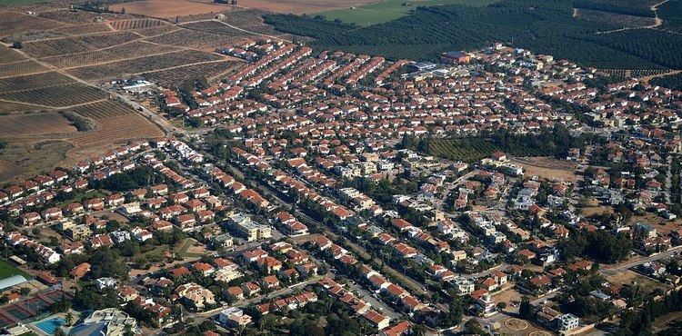
Pardesiya (Hebrew: פַּרְדֵּסִיָּה, Arabic: بردسيا) is a town in the Central District of Israel. Located on the Sharon plain, between Kfar Yona and the Lev HaSharon Regional Council, it was founded between 1937 and 1939. In 2015 it had a population of 5,563; its jurisdiction is 1,273 dunams (~1.3 km2)
Contents
Map of Pardesiya, Israel
History
The lands of Pardesiya were purchased in 1928 by Jean-Yona Fisher, but remained unused. In 1937 Avraham Tabib of the Yemenite olim organization asked its members to come to the land to build a village, promising cheap land. Twenty families came and in 1939 completed the construction. During World War II, the villagers found themselves unemployed and unable to pay taxes for their housing. The residents managed to settle the issue with the Jewish Agency for Israel and continued living in the village. After the war, a new neighborhood was built, as well as a ma'abara to absorb new immigrants. Pardesiya gained local council status in 1952.
Geography and location
Pardesiya is located on the Sharon plain, bordering Kfar Yona on the east and Tzur Moshe of the Lev HaSharon Regional Council. Highway 4 borders the town to the west, and Road 5613 to the south. Its elevation is 35 m above sea level.
Demographics
As of 2008, Pardesiya settles 6,318 residents. 99.5% Jewish, with an additional 0.5% being other non-Arabs. The age distribution was as follows:
International relations
Pardesiya's twin cities: