
 | ||
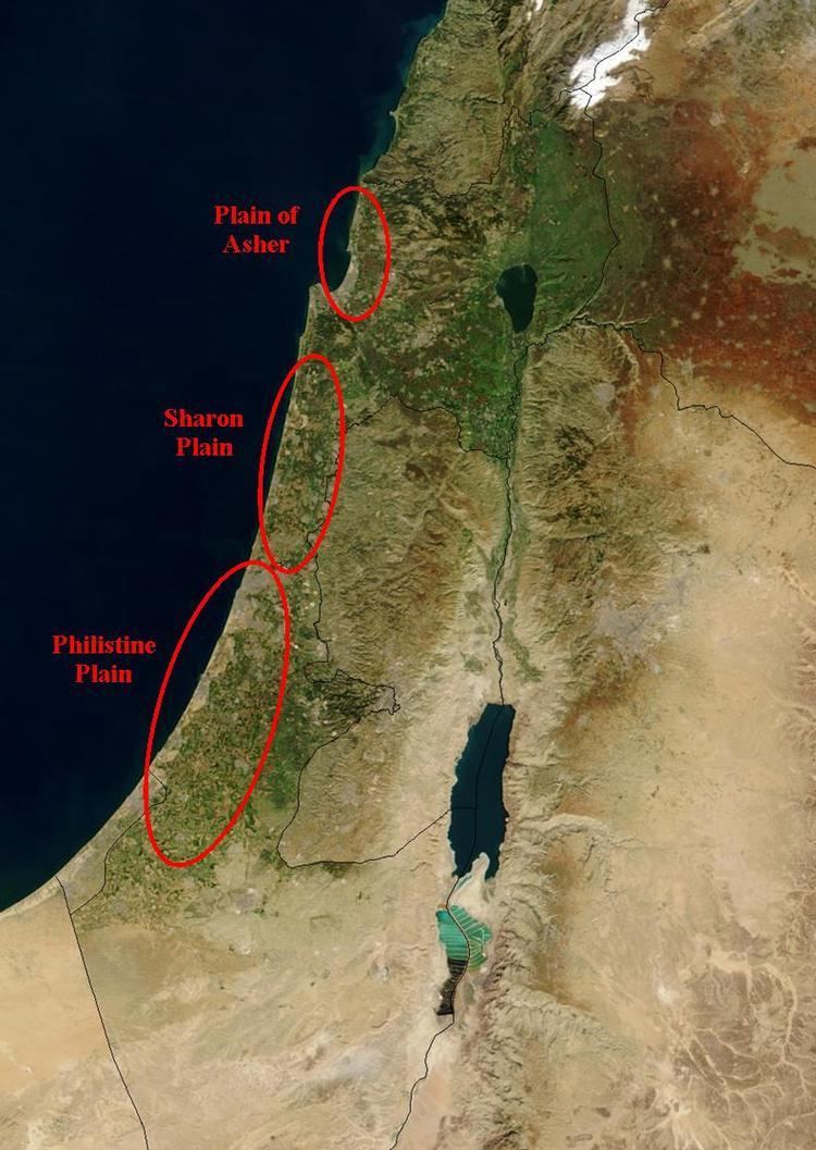
The Sharon plain (Hebrew: השרון HaSharon) is the central section of the Coastal Plain of Israel.
Contents
Map of HaSharon, Israel
The Plain lies between the Mediterranean Sea to the west and the Samarian Hills, 15 km (9.3 mi) to the east. It stretches from Nahal Taninim, a stream marking the southern end of Mount Carmel in the north, to the Yarkon River in the south, at the northern limit of Tel Aviv, over a total of about 90 km (56 mi). Parts of the Plain are included in the Central, and Tel Aviv Districts of Israel.
Hebrew Bible
The Plain of Sharon is mentioned in the Bible (1 Chron. 5:16, 27:29; Isaiah 33:9, 35:2, 65:10), including the famous reference to the enigmatic "Rose of Sharon" (Song of Solomon 2:1).
Modern history
Historically, while some parts of the Sharon plain were very fertile, much of it was swampy and malarial, a condition exacerbated by massive Ottoman deforestation. Zionist immigrants arrived in the early 20th century, drained much of the swampy land, and populated the region with many settlements. In 2008, it was the most densely populated region of Israel.