Lowest elevation 130 m (430 ft) Postal code 232 00 Local time Thursday 4:13 AM | Highest elevation 165 m (541 ft) Time zone EET (UTC+2) Vehicle registration Kx-xxxx Area code 02733 Regional unit Laconia | |
 | ||
Weather 11°C, Wind NW at 5 km/h, 77% Humidity | ||
Parasyros (Greek: Παρασυρός) is a village of the municipality of East Mani. Before the 2011 local government reform it was a part of the municipality of Gytheio. Parasyros is part of the community of Skoutari. Parasyros is located 2 km west of Skoutari, 9 km east of Areopoli and 13 km southwest of Gytheio.
Contents
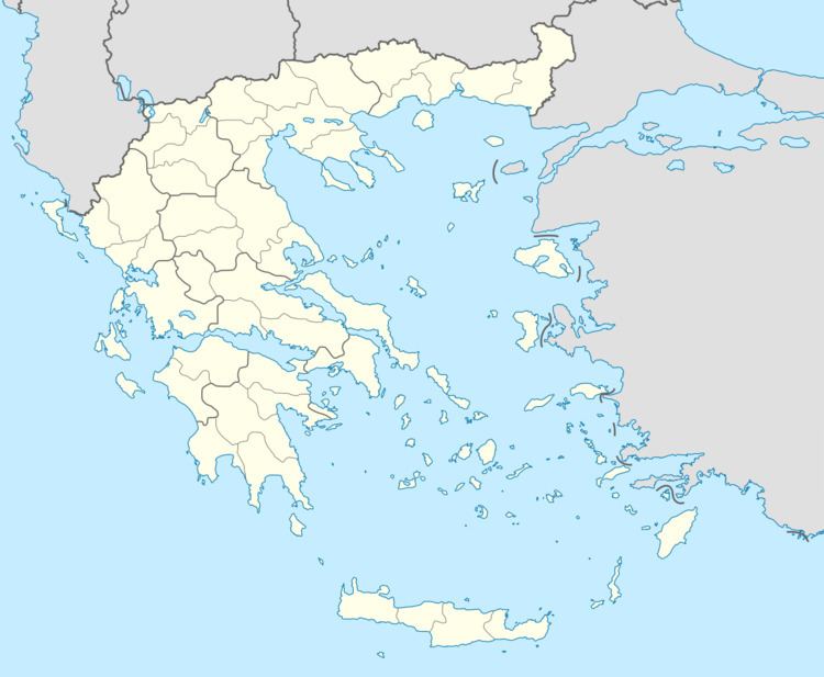
Map of Parasyros 232 00, Greece
History
In 1770 Parasyros sent men to contribute to the Maniot army in the Battle of Vromopigada. The Maniot army assembled in the mountains behind Parasyros called tria kefalia (Three Heads). In the battle that ensued the Maniot army defeated a much superior Ottoman army. It was part of the municipality Karyoupoli between 1845 and 1912, part of the community Skoutari between 1912 and 1997, and part of the municipality Gytheio between 1997 and 2010. Parasyros was occupied by the Nazis in World War II.
