Local time Thursday 7:38 AM | Time zone AZT (UTC+4) | |
 | ||
Weather -1°C, Wind E at 8 km/h, 83% Humidity Rayons Ordubad District, Nakhchivan Autonomous Republic | ||
Parağa (also Paragha and Paraga) is a village and municipality in the Ordubad Rayon of Nakhchivan, Azerbaijan. It is located in the near of the Ordubad-Tivi highway, 48 km in the north-west from the district center, on the left bank of the Gilanchay river, on the slope of the Zangezur ridge. Its population is busy with gardening, vegetable-growing, animal husbandry. There are secondary school, club, library and a medical center in the village. It has a population of 306.
Contents
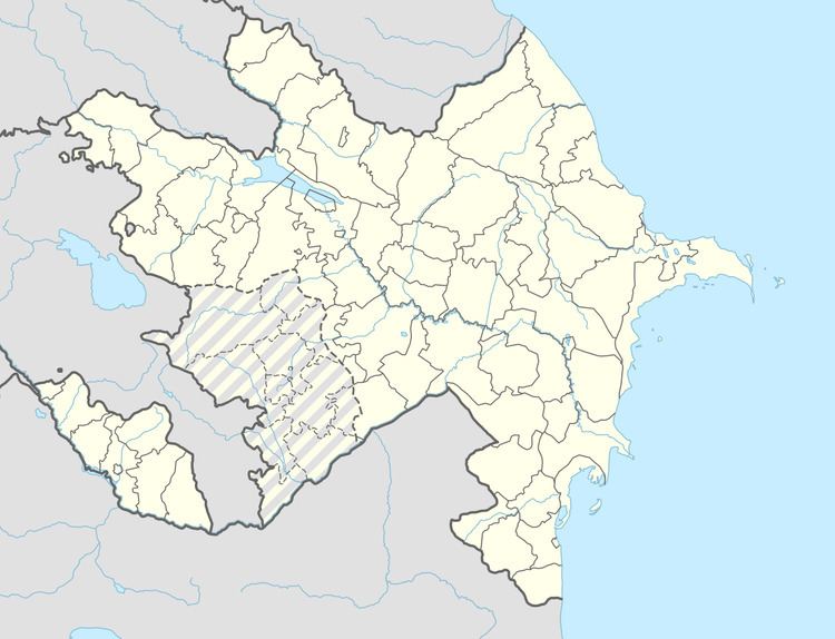
Map of Para%C4%9Fa, Azerbaijan
Armenian Monuments
The Surp Shimavon church (a domeless church dating from between the 12th and 17th century) was located in Paragha village; in the countryside was the Surp Hakob monastery, dating from the 12th century, with its main church, probably from the 17th century, being a large domed basilica.
