
Settlement 3 Founded 1940 | Autonomous republic Nakhchivan Villages 43 Time zone AZT (UTC+4) Area 970 km² | |
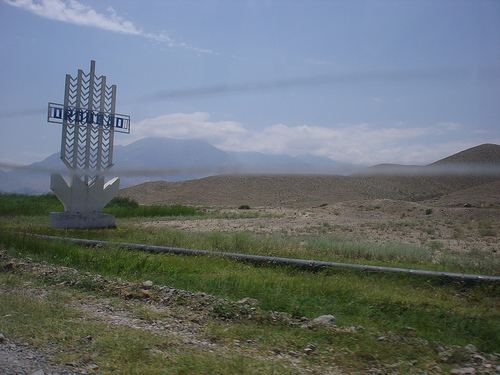 | ||
Ordubad is a rayon of Azerbaijan in the Nakhchivan Autonomous Republic. Ordubad district was established in 1930. In 1963, the district was abolished and given to the Julfa region. Since 1965, it's an independent district. It borders on Iran in the south, Armenia in the north and west and Julfa region in the east and covers an area of 972 km2. There are 1 city, 3 settlement and 43 villages within the district. The administrative centre of the district is the Ordubad city.
Contents
Map of Ordubad, Azerbaijan
Etymology
Ordubad is a name of Turco-Persian origin and means "city of army" (from Turkic ordu (army) and Persian bad (city)), which implies that the city was founded during the period of the Mongol or the ensuing Il-Khanid rule.
History
Ordubad region was a part of the khanates of Erivan and Nakhchivan, which were dependencies of Qajar empire, with Ordubad forming the main town of the district of Aza-Jeran in the eastern part of the khanate of Nakhchivan. After the Russo-Persian War and the Turkmanchay Treaty of 1828, the region was ceded to Imperial Russia, and became a part of Nakhchivan Uyezd of Erivan Governorate. Since 1921 Ordubad was a part of Nakhchivan Autonomous Soviet Socialist Republic, which in 1990 became the Nakhchivan Autonomous Republic within the Azerbaijan Republic.
Annexation
After the signing of the Treaty of Kars, in spite of the announcement of Nakhchivan region the Soviet Socialist Republic, Armenia tried to refuse this article of the Treaty of Kars with certain excuses and began to make territorial claims against Nakhchivan. With the decisions of the Transcaucasian Central Executive Committee in 1929-1931, part of the territory of Nakhchivan ASSR has illegally been given to Armenia. Thus, Qurdqulaq (Gurdgulag), Xaçik (Khachik), Horadiz (Horadis) villages of the Sharur District, Ağbinə (Aghbina), Ağxaç (Aghkhaj), Almalı (Almaly), İtqıran (Itkyran), Sultanbəy (Sultanbek) villages of the Shahbuz District, Mehri (Meghri), Buğakər (Bughakar), Aldərə (Aldara), Lehvaz, Astazur, Nüvədi (Nyuvadi) settlements which includes to the Qərcıvan (Gorchivan) administrative unit of Ordubad District, a part of the Kilit village, altogether, 657 square kilometers area were given to Armenia. In 1930, moreover, the Mehri district was established on the basis of separated land. In subsequent years, a number of areas also annexed to Armenia. In the 1990s, the Armenian armed forces have occupied the village of Karki. Thus, about 15 per cent of the determined territory of Nakhchivan Autonomous Republic by the Treaty of Kars, has illegally been occupied by Armenia in 20-90-es of the last century.