
Country Mexico Local time Thursday 7:24 PM | State Michoacán Time zone CST (UTC-6) | |
 | ||
Website Página web de Parácuaro Michoacan (Spanish) Weather 23°C, Wind S at 14 km/h, 42% Humidity | ||
Parácuaro is a municipality of Michoacán, Mexico. It is a Purépecha word for "Place where has it own sticks for one roof".
Contents
- Map of 38770 ParC3A1cuaro Guanajuato Mexico
- History
- Population
- Location
- Topography
- Hydrography
- Climate
- Principal ecosystems
- Agriculture
- Ranching
- Tourism
- Trade
- Services
- Personalities
- Architectural monuments
- Holidays dances and traditions
- Crafts
- Gastronomy
- References
Map of 38770 Par%C3%A1cuaro, Guanajuato, Mexico
History
In the Pre-Hispanic era, Parácuaro is thought to have been inhabited by Nahuas and later conquered by chief Tarasco Utucuma.
During the colonial period, the Spanish included Parácuaro in Republic of the Indias and developed the haciendas La Guadalupe, El Valle y La Perla.
From 10 December 1831, Parácuaro appears as Apatzingán's possession and approximately 30 years later on 20 November 1861 it was constituted in municipality by the Congress of the State. It as called Villa de Parácuaro de Morelos.
Population
25,582 inhabitants.
Location
It is located in the southwest region of the state at 19° 8'45.83" N and 102°13'9.68" W at a height of 600 meters above sea level. It is bordered on the north by Tancítaro and New Parangaricutiro, on the east by Gabriel Zamora and Múgica, and on the south and the west by Apatzingán. It is 200 km from the capital of Michoacán.
Topography
Its relief is constituted by the mountain chain of the volcanic transverse system and Tepalcatepec's - Balsa's depression, the hills of Aguacate, Jabalí, Cofradía, Güera, Vueltas, Batea and White.
Hydrography
Its hydrography is constituted by rivers: Aguacate, Orejón, Lancita, Paracuarito and Manga and the springs of cold water, of the Chicos, the Pozos and Cortijo.
Climate
It is tropical, with rains in summer. It has an annual rainfall of 800 millimeters and temperatures that range from 14 to 36 °C.
Principal ecosystems
In the municipality, tropical forest vegetation predominates, with tepeguaje, guaje, ceiba, parota, zapote and mango. The tropical thorny forest, with teteche, viejito, huisache and amole.
Agriculture
The principal crops are cotton, rice, corn, melon, sorghum, sesame, tomato, cucumber and watermelon.
Ranching
Cattle, horses and pigs are raised.
Tourism
There are two resorts.
Trade
Parácuaro is self-sufficient in basic products, and emphasizes the marketing of fruits, groceries and vegetables.
Services
In the Paracuaro's municipal office you can find service of accommodations, bungalows and food service.
Personalities
The best-known person from the town is Alberto Aguilera Valadez, who is better known by his stage name, Juan Gabriel. Actress Elpidia Carrillo was born in this town as well.
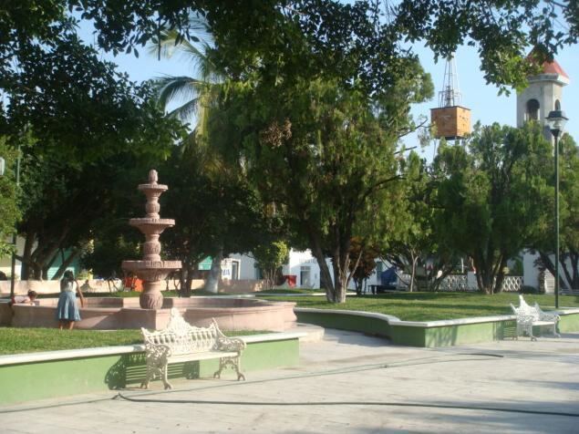
Architectural monuments
Parácuaro's parish and monument to Cenobio Moreno.
Holidays, dances and traditions
Crafts
Wood furniture and harness-maker's shop.
Gastronomy
Typical foods of the municipality are: morisqueta, iguana soup, fish soup (bagre, carpa), corn tamales with cream (uchepos), corundas de maíz with cheese and cream, tacos de res y chivo tipo barbacoa, enchiladas con pollo y cecina.