
 | ||
Paprat Peak (Bulgarian: връх Папрат, ‘Vrah Paprat’ \'vr&h 'pa-prat) is the ice-covered peak of elevation 650 m in Solvay Mountains on Brabant Island in the Palmer Archipelago, Antarctica. It surmounts Koch Glacier to the east, Chiriguano Bay to the south and Jenner Glacier to the northwest.
Contents
The peak is named after the settlement of Paprat in Southern Bulgaria.
Location
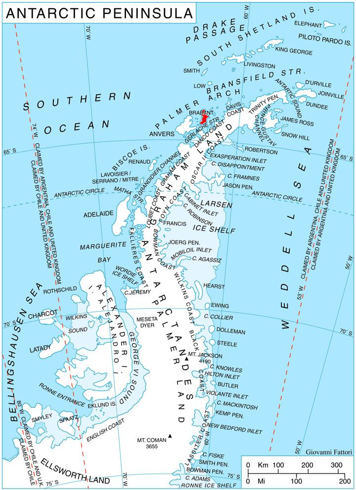
Paprat Peak is located at 64°26′18″S 62°31′49″W, which is 3.5 km east-southeast of Kondolov Peak, 4.4 km south by east of Mount Aciar, 7.35 km southwest of Cook Summit, 7 km northwest of Cervantes Point and 6 km northeast of Mount Bulcke. British mapping in 1980 and 2008.
Maps
References
Paprat Peak Wikipedia(Text) CC BY-SA